Maple Glen near Invercargill

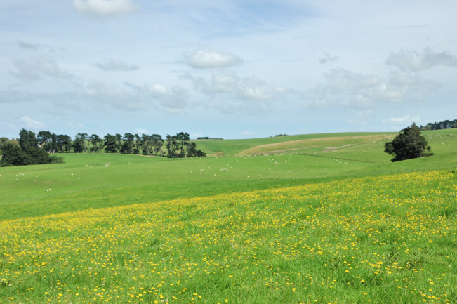
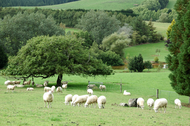
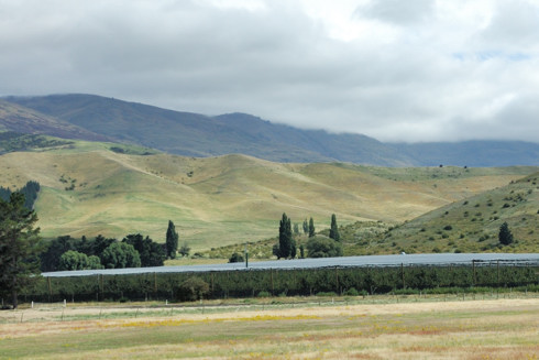
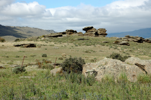
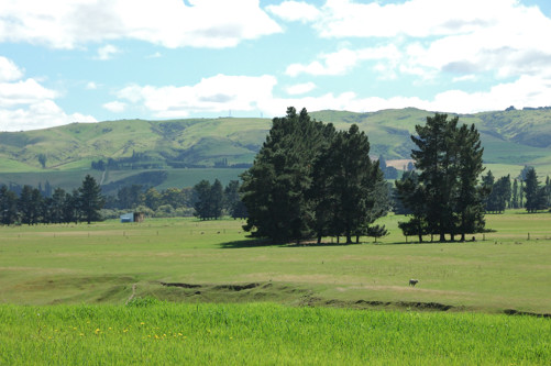
Discerning that we liked gardens, because we were interested in their garden, Helen and Graeme suggested that we visit a large, private local garden called Maple Glen. It is about 40 km from their farm on the other side of Matuara River. I was amazed how the landscape changed from one side to the other. Near Long Acres, the land is quite flat, perfect for cows. As soon as we crossed the river the landscape became undulating with low ridges and depressions with no obvious direction or organization; still wonderful pastureland, but now much more suitable for sheep than for cows. I’m not sure how well the photo below conveys this.

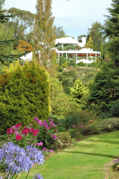
On the website Maple Glen is described as: “A 25 acre private garden, nursery, aviary, woodland and wetland set in the rolling green countryside of Southland, South Island, New Zealand.” Built around their private house and commercial nursery, Maple Glen appears to be the labor of love of a single couple and now their son. When you think of this as a private garden, it is truly huge. Amazingly, given how large it already is, it seems to be still expanding into the sheep pastures that adjoin it.

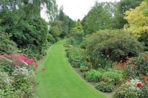
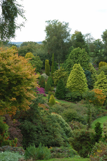
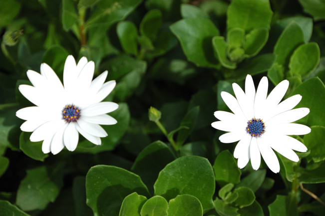
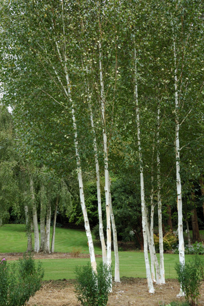
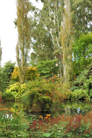
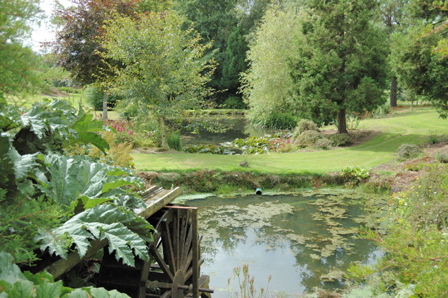
Part of what makes this place so spectacular is the variety of environments that have been created. There are secluded paths lined with beautiful flower beds – keep in mind that we were here in early fall, hardly the time when most gardens are at their very best – amazing vistas, made possible by the rolling setting,
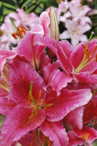
and just some drop dead gorgeous flowers.

There are woodland spaces with no flowers at all.

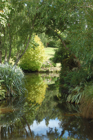
And running through the bottom there is a stream and series of ponds, several small ones and one larger one.

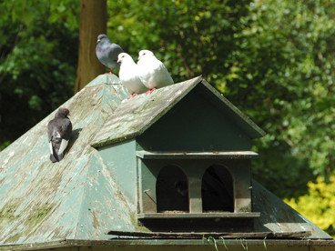
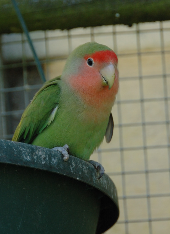
Everywhere, as we walked through this garden, there was the song of birds. Many are probably there because the garden is a hospitable place, but the owners also clearly encourage others to make this their home. For example, these pigeons and the lovebirds, shown below, have fenced areas that they can fly to for safety, but that they are also free to fly in and out of.

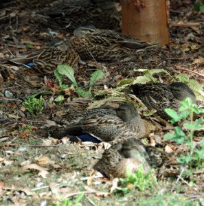
There were also many ducks, several varieties. Some, which think it is still bed time, blended almost perfectly with their surroundings.


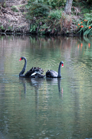
To end the story of our visit to Maple Glen, I should tell you about the swans. New Zealand has a somewhat different attitude toward legal liability than we do in the US. Here, if a landowner has pointed out some danger and you still manage to get hurt by it, unless the landowner contributed by some specific gross negligence, you’re on your own. As we entered Maple Glen we noticed that there was a sign listing a variety of great dangers – slippery paths, plants that are poisonous if eaten – including swans that might bite; but nothing seemed much to worry about.

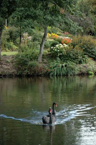
Below, see the pretty swans on the pond. On the right the swans have seen us and are swimming over quickly, probably they are used to being fed by visitors.

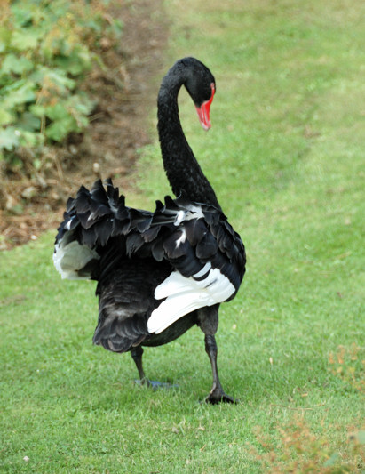
But no! These swans, as they charged out of the water at us, seem to have absolutely no interest in food, except perhaps if that food is a chunk of us; sorry, no picture, the photographer was otherwise engaged. It turns out that swans are quite territorial. On the right, one of the swans, having chased us about 50 yards from the pond, now turns his back and walks away, fluffing his tail feathers in clear disdain for these wimpy humans.

After leaving Maple Glen, we drove into the center of Invercargill. This is a pleasant, small city. We enjoyed Queens Park there, but I didn’t end up with any pictures worth sharing.

Posted in New Zealand, Uncategorized | 1 Comment

Long Acres Milking Shed

News Flash: The events described below happened over a week ago. However, today Taylor and Haywood arrived in Auckland after a journey of over 30 hours from New York. They plan to spend ten days touring the North Island on their own. It will then take them another 2 days to make their way to Dunedin. I am about done with the backlog about our travels. Perhaps for the next two weeks they will take up the story. Now back to the regularly scheduled blog post.

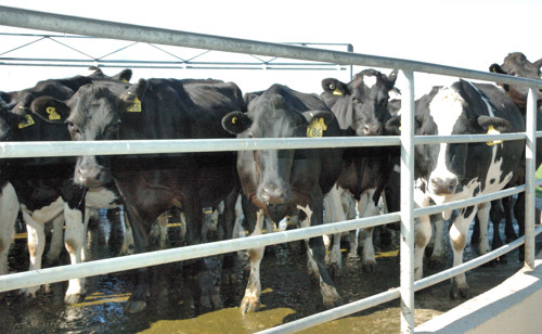
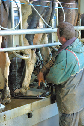
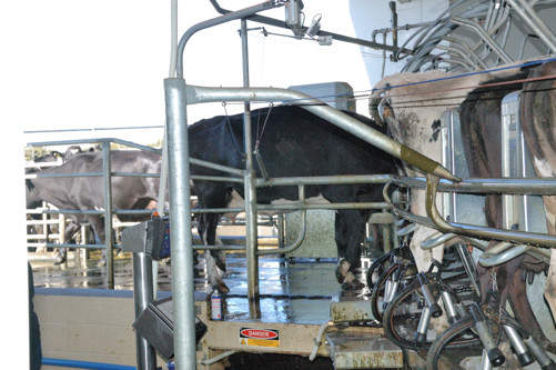
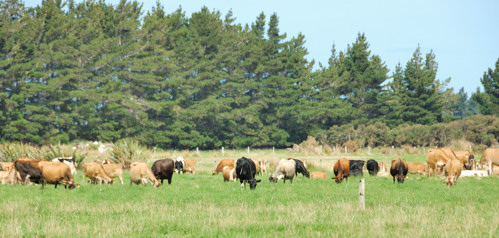
We were curious how 1500 sheep are milked twice each day. The key is a highly automated, rotary milking shed that holds 55 sheep at once. The cows are herded from the field – very slowly, if cows walk fast they give less milk – to the intake area of the milking shed shown below.

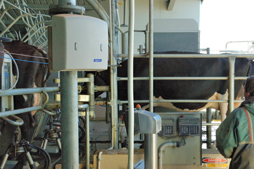
They are funneled into stalls on what might best be characterized as a merry-go-round for cows. The cows want to get into a stall, because the machinery automatically gives them a dollop of molasses.

Once in the stall, the milking cups are put on their teats; this is really the only manual step in the entire process. The man shown here doing that is Gerald, the son of Graeme and Helen, who now rents the farm from them and runs it.

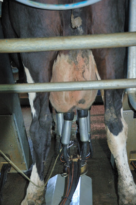
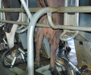
While the cow rides around, she is milked automatically.

As soon as she is milked out, the machine detects this, the suction is removed from the cups, and they automatically drop off. This is important because leaving them on too long is a cause of mastitis.

Just before the end of her ride, iodine is sprayed on each cow’s udder.

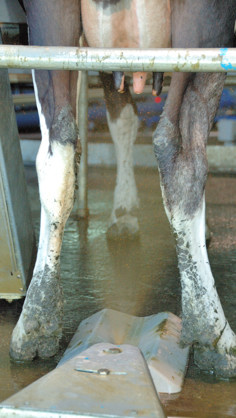
A spray of water on the cow’s front feet, signals them to back out of the stall and head off to their new field.

Each cow has an ear tag with a number and a barcode that is read as she enters the stall. This allows the computer running the machinery to track the amount of milk given by each cow. Also, if a cow is being treated for mastitis or some other problem, she will be milked but her milk will automatically be shunted aside to be discarded.

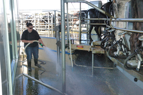
All 1500 cows can be milked in under three hours by just two people. One is responsible for attaching the milking cups. The second person herds the cattle into the sheds and also helps keep the machinery washed down since the cows do not necessary stop elimination processes while they are being milked.

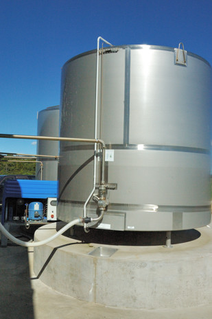
The end result of this impressive process is milk in these two 1600 gallon tanks. Because it is fall here, they are starting to cut back on milk production; currently they are only sending out about 2400 gallons a day.

Milking operations like this one are common here, but, I believe, rare in the states. When Taylor was at Bobolink, their cows were grass fed; however, in America this seemingly natural state of affairs is the exception rather than the rule. Instead, cows in America are larger, they are fed a feed mixture composed mostly of corn, and they confined in stalls. The result is that each cow in America gives more milk, and the milking process is far more efficient. On the downside, their feed is more expensive, and the structures that hold them are expensive to build. Because they are confined, their effluent becomes a point source of pollution rather part of the natural fertilization of the fields. Here, even the effluent from the milking operation is caught, and after a natural biodegradation process, used to fertilize the fields. Because the digestive system of cows is evolved for a high fiber grass diet, a corn based diet causes them to have digestion problems that then have to be treated. A tangible manifestation of this is that a dairy cow in America can give milk for about 5 years before she “burns out.” Grass fed cows are productive for two to three times that long.

Although it may be slightly less efficient, the grass feeding system is also more sustainable; a dairy like this one can operate for generations with little external input other than sun and rain. Feeding cows a grain diet requires corn. Growing corn in America is an energy intensive operation that makes heavy use of artificial fertilizers and herbicides. Tilling fields to grow corn leads to the loss of topsoil that was created over centuries by the prairies and forests that these fields have replaced. Clearly, feeding billions of people is a challenge and efficiency matters. To my mind the combination of sustainability and efficiency in an operation like this one makes far more sense than the combination that is dominant now in America.

Posted in New Zealand, Uncategorized | Leave a comment

Southland 1

After a good night’s sleep recovering from the exertions of the Milford Track, we today drove south to a “farmstay” east of Invercargill in the “Southland.” The first third of the most direct route, would have retraced half of the drive to Te Anu, which we had just done twice, so we elected to head east from Queenstown to Cromwell and then south on Hwy 8 and Route 90 through Gore and then on to where we would be staying 30 km east of Invercargill (and just 5 km north of the south end of the island).

The initial part of this gorgeous drive, through the central part of Otago, was interesting because the land changed dramatically several times. Leaving the mountains of Queenstown, we passed through wine country and then, entering Cromwell, we arrived in the first of two regions of orchards that we would pass through. The photo below shows an orchard of what we believed were cherries completely covered in bird netting.

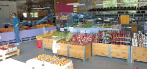
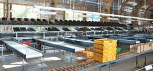
Like many that we passed, this large operation had several kinds of orchards, and  a roadside store like that shown below on the left that, in this case, was the front of a small packing house, shown on the right.


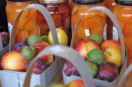
This shows a sample of the fruits that they sold, both fresh and packed.

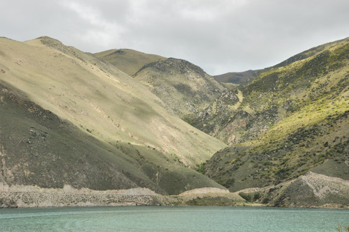
As we continued further south towards Clyde, we saw rolling hills that clearly got less rain than where we had been.

Landscape near Clyde

Then, although not higher, the land became substantially more rocky with large boulders sitting above ground.

Until finally, as we headed south into Gore, the landscape began to flatten out into the fertile, green pastures of the Southland.

Gore is an agricultural town, reminiscent of ones I remember from the states. We had assumed that there would be places to stop for lunch, but when we were ready there seemed to be none until we arrived in Gore about 1:45. Although Gore is a large town, on Saturday all the shops close at 1:00. We felt fortunate that we found a café that was still open for another 15 minutes. The only alternatives at that time appeared to be MacDonald’s and Kentucky Fried Chicken – not what we had travelled to New Zealand to sample. We had an interesting meal in this café, although, because it was almost closing time, they were unable to offer us several choices we might have had. I hand a C.L.T. – chicken lettuce and tomato sandwich – that was shredded chicken mixed with a mildly spicy, pepper jelly served on toast with slices of lettuce and tomato. Nina’s wrap also had jelly on it.


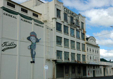
Here is a photo of a flour mill in Gore, which I believe has now been abandoned.

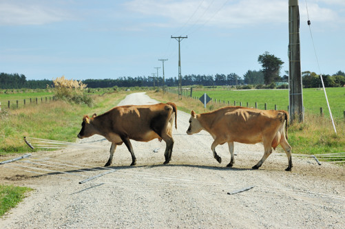
Our farmstay for this and tomorrow night is at the Long Acres farm. We found our way on back roads to within 400 meters of the house when we were stopped by cows walking across the road between temporary electric fencing that had been laid flat across the road.

The cows continued down the land

to a field which already had several hundred in it.

We were not sure if it was okay to drive across this fencing, and there were so many cows in the field that we assumed that the parade would soon end. However, 20 minutes later we were still there when a small truck approached from the other side, simply drove over the electric fencing and stopped. It turned out to be our host Graeme, coming to see if anything was wrong. We expect that the crazy Americans sitting in their car waiting for the cows to pass by will be a source of local mirth for the next month or two.  With a little encouragement from Graeme, Nina drove over the fencing – Nina having decided that today was the time to master the stick shift and left-side driving – and we made it to their home where we met Helen.

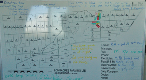
What we were watching was the larger of their two herds, walking from the milking shed, where they had just been milked, to the pasture where they will spend the night. This is a herd of 1100 Jersey, dairy cows. Their second herd is 500 Holsteins, also dairy cows. Their son took over operation of the farm from Helen and Graeme who, in turn, took over the farm from his father and uncle. He switched from raising sheep to cows two years ago, and is now raising these two varieties to see which will work better for them here. The Jerseys are smaller and give slightly less milk, but also need a lot less food. The Holsteins give more milk, but require more food. Their milk, however, also has a somewhat higher percentage of protein which is important. The milk of the Jerseys, by contrast, has a higher percentage of milk solids which is an important determiner of the price that they receive. Unlike America, where dairy cows are fed a high-protein, grain diet, food for these cows is primarily grass. Now it is fresh, but during the winter, a large percentage will be from dried bales of hay, which they have cut from their meadows, augmented with swedes – what we call rutabagas. As shown in the diagram below, the 1500+ acres of Long Acres farm is divided into 5 hectare fields (a hectare is 10,000 square meters; roughly 2.5 acres). Both herds are milked twice each day and then put out into a new field. Each field is grazed only once every 30 days.

I suppose that there are farmstays in America; however, I have never heard of them. However, they have been a growing trend in Europe at least since the 1980s, particularly in Italy, and are quite popular here in NZ. Helen and Graeme turn out to be friendly, generous, and accommodating hosts, which is important as we are sharing their house with them and a young German couple that arrived later this evening. In some ways, farmstays are like B&Bs with less of a focus on frills and more on the life of a working farm. To that end Graeme took us on a long tour of the farm and he and I had several interesting discussions about the difference between dairy farm practice in America and New Zealand. Although not a necessary part of the arrangement here, we chose to have dinner both nights with Helen and Graeme. Today, dinner was quite a feast with roast lamb and a wonderful assortment of freshly cooked vegetables that Helen prepared. To finish the meal, Helen offered a strawberry dessert that was like a roulade, but, since she knew of Nina’s wheat allergy, with a soft meringue replacing the sponge cake that would be usual. She had a name for this, that, unfortunately, I do not remember.

Posted in New Zealand, Uncategorized | Leave a comment

Milford Track – Day 5

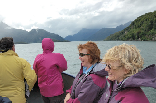
Our last day of this trip actually involved no hiking. We were allowed to sleep in, until 7:15. After breakfast, we boarded a boat for a scenic cruise of Milford Sound. The weather this morning was almost perfect, if you like spectacular vistas of mountains and water. The next 3 photos were taken before we boarded the boat.

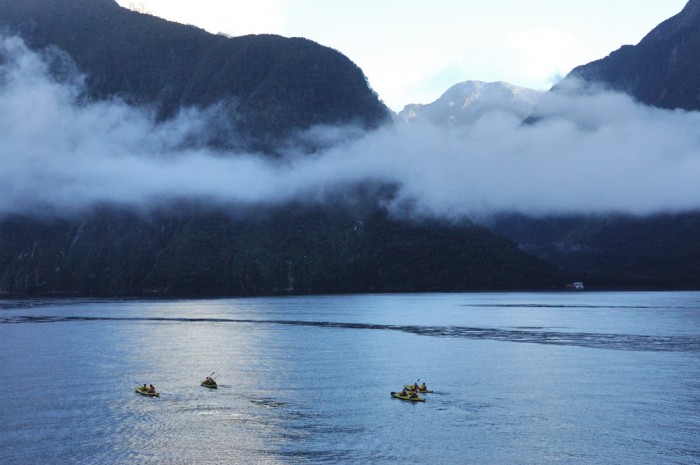
As we sailed down Milford Sound, our boat came across this group of kayakers. We were cold, so I hope they were bundled up well.

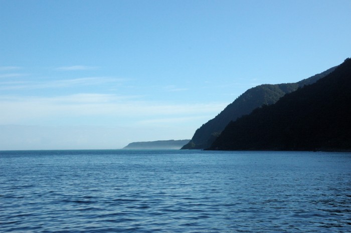
Our hour and a half cruise took us out of the sound into the Tasman Sea. This is looking toward Australia some 1000+ miles away.

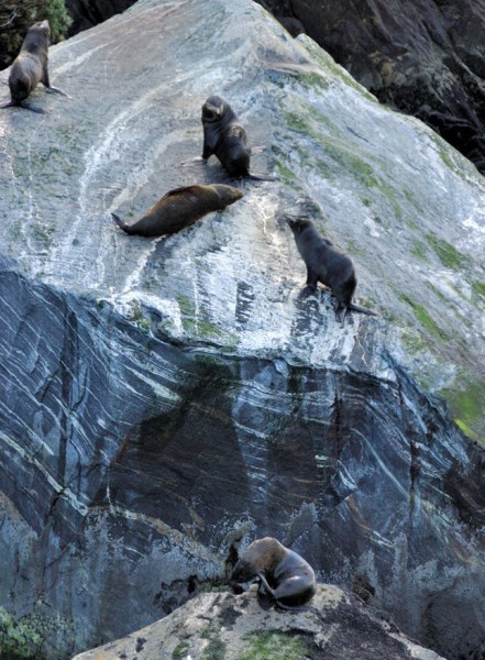
Milford Sound has a resident seal colony.

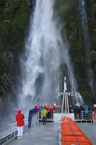
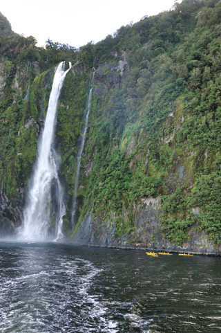
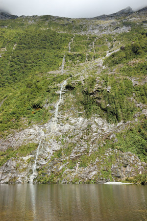
You can see how steep the rock walls bordering the sound are. Not surprisingly, they get no less steep underwater, this is why the sound is over a 1000 feet deep and has no good anchorage for large ships. (Cruise ships do often sail in, turn around, and head out again.) Just as on the track, there were spectacular water falls into the sound. Because the sound is so deep, our boat could literally bring its bow into the falls. Below on the right, you can see the kayakers again, keeping a more respectful distance.

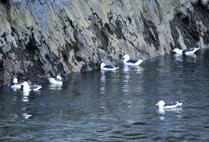
Just before the end of the cruise we came upon these sea gulls. The dark band in the photo below is made up of small mussels that live right at the water line. The gulls seem to be feasting on them.


The cruise was a wonderful, relaxing ending to a wonderful, but difficult hike. Nina and I probably disagree on the emphasis that we would put on each of these adjectives. Once we were off the boat, it was back onto the bus for a 5+ hour trip to Queenstown. The part leaving Milford Sound and going through the Homer Tunnel had spectacular scenery. However, since we did not stop, I do not have any pictures. The rest of the ride was just long. For an additional thousand dollars, you could fly back to Queenstown on a helicopter in just 35 minutes. Five of our group took this option; it certainly was a spectacular day for it.

Posted in New Zealand, Uncategorized | Leave a comment

Milford Track — Day4

It rains a lot in southwestern New Zealand. The moist air blowing off of the Tasman Sea hits the high mountains we have been walking through and, at times the water is said to come down as if from a fire hose. The Arthur River watershed averages 7 m (about 22 feet) of rain a year. This is not so much because it rains all the time, but when it rains it often rains hard. Because the mountains are essentially solid rock, with very little soil to hold water, the rain that falls comes down off the mountains quickly creating hundreds of water falls and ending up in the river in a matter of hours. We had been very fortunate in having great weather up until today and fortunate even today that the rain that fell was light and not heavy. Still, it was a wet walking day.

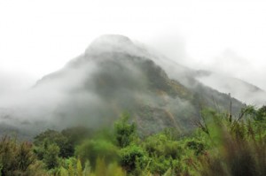
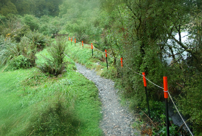
See the stakes with the red tops in the photo below. Those are to tell hikers where to put their feet when the water has risen up over the level of the path. We saw these setups on the second day and today. Fortunately, because the rain was light, we never saw water high enough that this was an issue. However, we were told that just four days before the water on this section of the trial was thigh high.
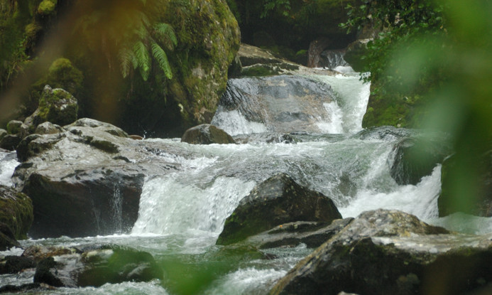
There was, however, enough rain to have the creeks flowing nicely.

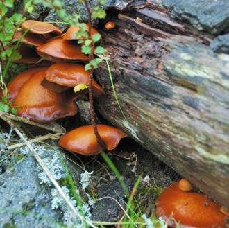
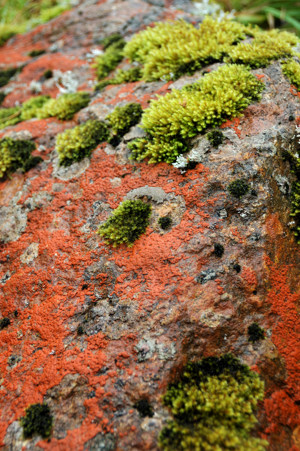
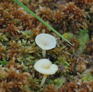
This was a perfect day for mushrooms and lichen.

Down off of the pass, we were once again walking through the rain forest.

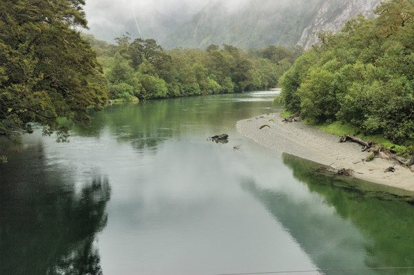
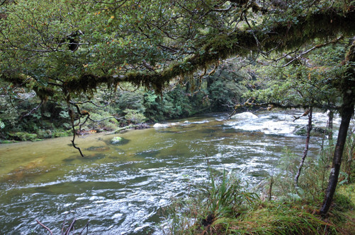
The Arthur River was peaceful, but getting larger.

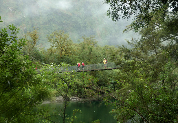
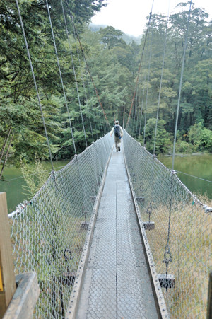
Which meant that we were once more crossing suspension bridges.

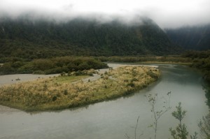
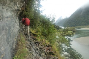
In the photo on the left below, notice how, as the river bed widens, a sand bar has formed. On the right is a section of the track that made me nervous. Although this is only about 40 feet above the river, the track is narrow, the rocks are wet, the footing is poor, and the water below was not very deep. Guess what, we all made it.

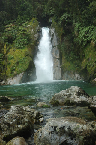
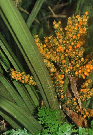
Here, is Mackay Falls. On the right is a plant with fruits that caught my eye.

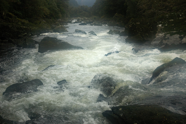
About a mile before the end of the track, the valley narrows, presumably the rock is harder here, and the previously wide, placid Arthur River now begins to look like a kayaker’s dream.

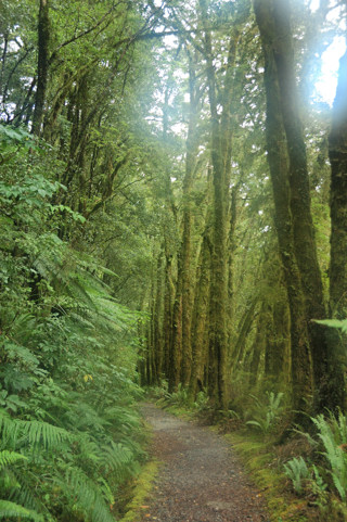
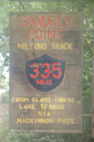
The last mile of track is broad and flat, much like the first mile. And then we reach the end. By the way, Sandfly Point is aptly named.

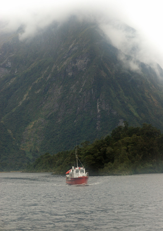
And, almost as if necessary to complete the symmetry of this journey, a small boat arrives to return us to civilization.

Posted in New Zealand, Uncategorized | Leave a comment

Milford Track – Day 3

WARNING: This post is long and has LOTS of pictures.

Day 3 of the hike is what makes the Milford Track famous. The Milford Track has a reputation of being the best hike in the world, a distinction that apparently began with an article by the New Zealand poet Blanche Baughan published by the London Spectator in England. The article was originally titled A Notable Walk but was changed by an editor to The Finest Walk in the World and the tag line stuck. Both Nina and I think that there is a lot of hype in that claim — certainly to think it true you would have to really love rain forests. However, today’s hike, on a nice day, surely rivals the best days of hiking anywhere.

Today’s hike is also challenging — certainly the most difficult of the three serious hiking days. Not only does it cover 13 miles, but one must also go up and over Mackinnon pass almost 3000 feet up and then down. Adding to the difficulty, the descent is much steeper than the ascent and the trail more rough. We were awoken at 6:15 to get an early start.

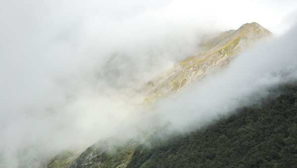
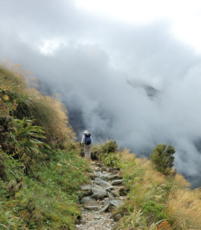
Our luck with the weather continued today. Although there was rain overnight and we awoke in a cloud, Nina and I did the ascent slowly as the cloud cover was lifting, as you can see in the photo below. By the time we had reached the top of the pass, the weather was, as they say here, “fine.” Our group has a number of hikers who appear to approach each day’s hike as a race; their reward today to was to have completely missed the stunning views from the pass.
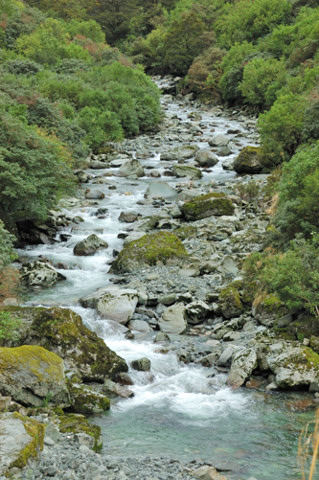
The Mackinnon Pass separates the Clinton River watershed, which we have been hiking up, from the Arthur River watershed, that we will be hiking down tomorrow. So, for the first parts of the hike today, we are seeing the Clinton River diminished to a fast running stream.
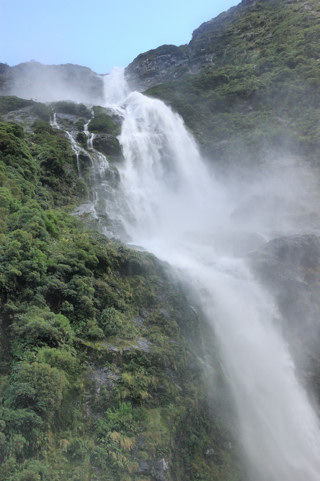
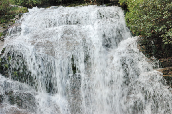
Although now eclipsed by other scenery, in some sense, the raison d’etre for this hike is the Sunderland Falls. Although we were not able to see them until the end of the day, for narrative purposes, I’m going to skip ahead and show/tell you about them now. At 580 m (1904 feet), the Sunderland Falls are certainly impressive and, depending on how one measures these things, some of the tallest in the world. As you can see in the photo, the falls are divided into three stages: the top section is 248 m, the middle 229 m, and the bottom 103 m.

The photo on the right was taken from about 200 feet away from the base of the falls. However, in many ways, the experience is most impressive closer to the base where the falling water literally smashes onto rock. When you get closer, as in the photo below, it is not possible to see the upper sections, but here you are enveloped in the spray — keeping my lens dry was a challenge! — and the sound is simply overpowering.
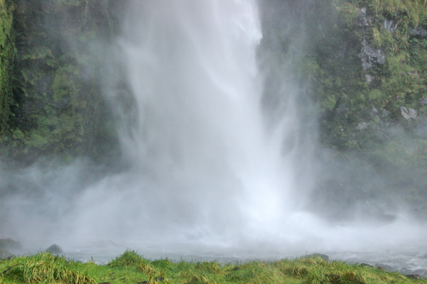
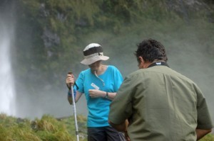
As some of us found, this is a great place to take a cold shower.

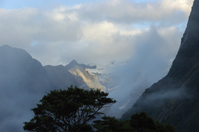
The world first learned of these falls in 1880, when Donald Sutherland and John Mackay, who was the first European residents of Milford Sound explored up the Arthur River watershed. About half way up the river they found a gorgeous waterfall (pictures in the next posting). They flipped for naming rights and Mackay “won.” Further up the river they encountered what is now Sunderland Falls, which are impressive because they are many times taller, but arguably less beautiful than Mackay Falls. Sunderland, who today would have been a resort developer, built a track from Milford Sound to bring visitors in to see his falls, which he claimed were over a mile high. (If you have been reading carefully, you will know that subsequent surveys showed that his claim was wildly exaggerated.) He promoted the combination of the sound and the falls as one of the wonders of the world. Although popular, the area did not draw large numbers of visitors because accessibility was limited by the difficulty of navigating the waters of Fjordland and the lack of a good anchorage in Milford Sound, which, as I will discuss in two days, is quite deep. So Sunderland wanted desperately to find a land route into the area. However, his explorations were curtailed by the apparent dead end created by the cirque at the top of the Arthur River watershed, shown below from Quintin Lodge, which is the destination of today’s hike.
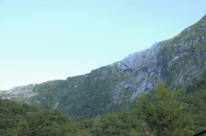
As I described yesterday, in 1988 Mackinnon and Mitchell, were exploring the Clinton River watershed, also with the aim of getting to Milford Sound. From this direction, they walked up onto the saddle that forms the back of this cirque from Clinton River watershed, as we will do today. They then found the way down into the Arthur River watershed that Sunderland had missed and thus discovered what is now Mackinnon Pass. Until his death, Sunderland was peeved that Mackinnon had been the one to create a overland route to the falls and Milford Sound. This track would be the only overland route until the Homer Tunnel was opened in 1954.
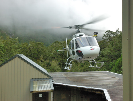
Returning now to the narrative of our day, it began with a three mile hike from Pompolona Lodge to the base of the pass. After about two miles we reached the DOC hut, where the independent walkers spent the night and stopped there to use the facilities, the last before the pass. I mention this only because while we were there we heard a helicopter, which proceeded to land on a pad built next to the lodge. I found this very impressive because the spinning rotors could not have been more than 20 feet from the side of the lodge as the helicopter set down.
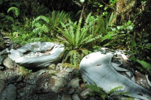
It turns out that this chopper was bringing in an emergency medical team  to treat one of the independent hikers, who was eventually airlifted out. Although this has not always been the case, for the last 20 or so years, all transport in or out of the track has either been on foot or by helicopter. The carry in all the food and fuel for the lodges and haul out all of the refuse. But that is not all. They were used to bring in all of the building materials used to construct these lodges and maintain the track. The photo to the left shows two large sacks of gravel, flown in by helicopter for this purpose.
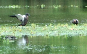
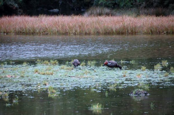
Leaving this hut, we came to Lake Mintaro. Mackinnon originally called this Lake Beautiful, and, although perhaps not original, as a description this is certainly appropriate as I hope I have captured in the photograph below. I was also intrigued by the Paradise Ducks (Tadorna variegata), which were there. The photo on the right provides a better look at two of these guys.
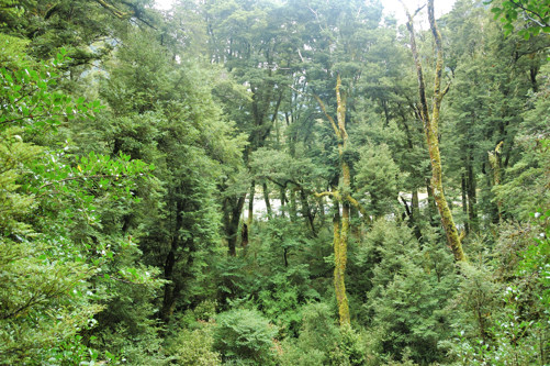
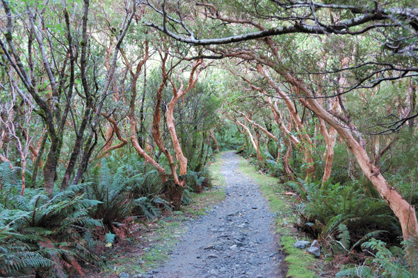
Before starting up the pass, we also passed through the stand of New Zealand Tree Fuchsias (Fuchsia excorticata) shown below. These flower like normal fuchsias, so I imagine that earlier in the year this stretch of the track is spectacular. I included this photo here, both because I like it and because these trees provide an interesting contrast to the Red Beeches that I included yesterday. Recall how the beeches are covered in moss, an occupational hazard for trees in a rain forest. This is not good for fuchsias, however and to avoid this problem they continuously shed their bark.
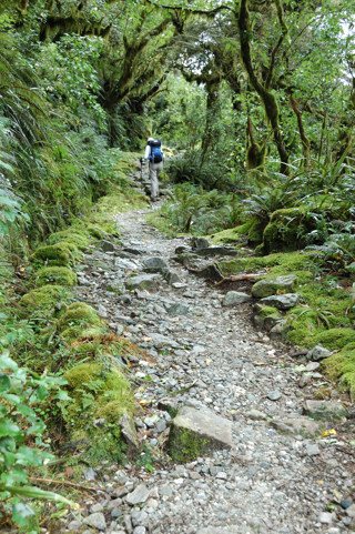
The hike up the pass to the monument to Mackinnon, which is not quite at the top, is less steep because it consists of a series of 11 switchbacks. It is not until the 8th of these that we got above the tree line. Below on the left is Nina hiking the first switchback and on the right she is on the 9th. You can see the difference in the vegetation.
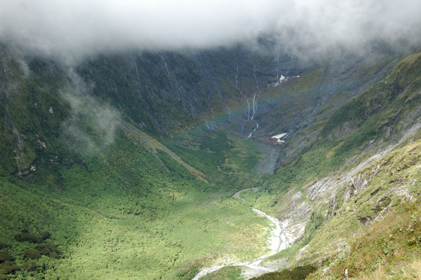
One advantage of being above the tree line is the views. The photo below shows Nicholas Cirque, a little beyond where we are climbing Mackinnon Pass. This is the actual head of the Clinton River Watershed. Can you see the rainbow?
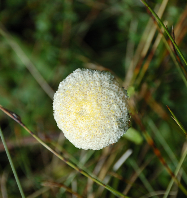
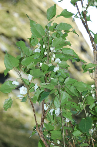
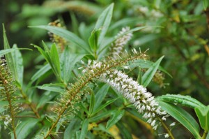
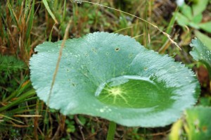
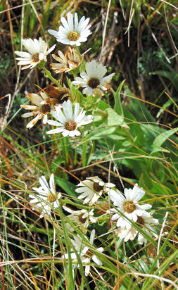
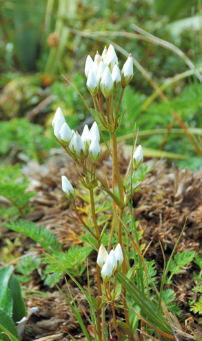
Another advantage of getting above the tree line is that, even early in Fall, there are still interesting alpine flowers. I photographed many of them. Here, without comment (or names), are some of my favorites.
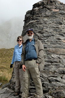
I guess just to prove that we really got there, on the left below is a picture of us beside the monument to Mackinnon.
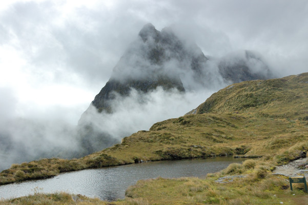
From here, there are mountain peaks all around. This is Mt. Hutt with a tarn in the foreground.
This is the view down the Arthur River Valley (to the right). This is taken from the top of 12-second drop — the edge of the cirque that stymied Sunderland. As everyone in my family can guess, I might have been close to the edge but I was not really that close. Because I was not standing too close, Quintin Lodge, where we will be staying tonight, is just hidden by the edge here. Below, is another picture showing the drop.
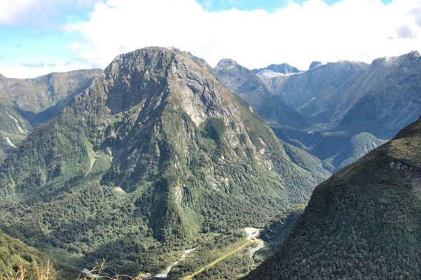
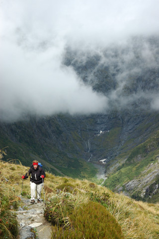
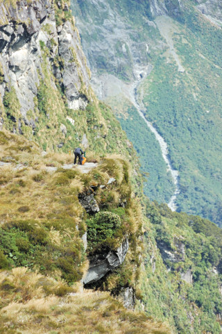
The monument is still several hundred feet below the highest spot on the pass. To get there we headed up the steep trail on the left below. On the right is some fool scaring me by standing so close to the edge of the 12-second drop.
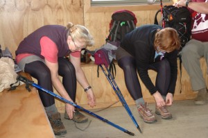
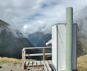
Here we have finally made it to the lunch hut. In the photo below, two members of our group are taking care of what is now our most precious possessions — our boots and feet. We have now done about half of the day’s hike; unfortunately, the hard half is still to come. The other photo below is of the “loo with a view.”
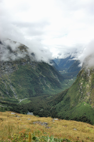
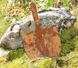
From here, we get a great view of the Clinton River Valley. Below is an unofficial reminder of those who maintain these trails.
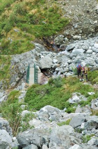
I’ve mentioned that the way down was much steeper than the track up. On the left below is a shot of the initial part of this track with a bridge over the headwaters of the Arthur River below us. The photo on the right shows how later, where the track becomes even steeper, they built these amazing wooden stairs which helped a lot.
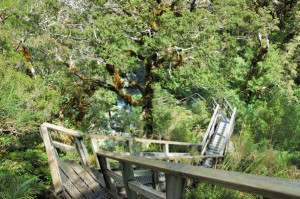
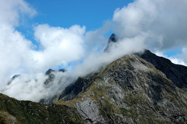
As we start down here, we get a last great view of the pass with Mt. Hutt in the background.
A little further, what will become the Arthur River puts on a stunning display of waterfall pyrotechnics as it descends through this steep landscape — the wooden stairway is in this section. These falls are apparently unnamed and they are not nearly as high as the Sunderland Falls, but for beauty and sheer variety it seems hard to beat them. Below are my five favorites of the many pictures I took here — Sorry, I’m sure I should cut down on these, but I just love all of these.

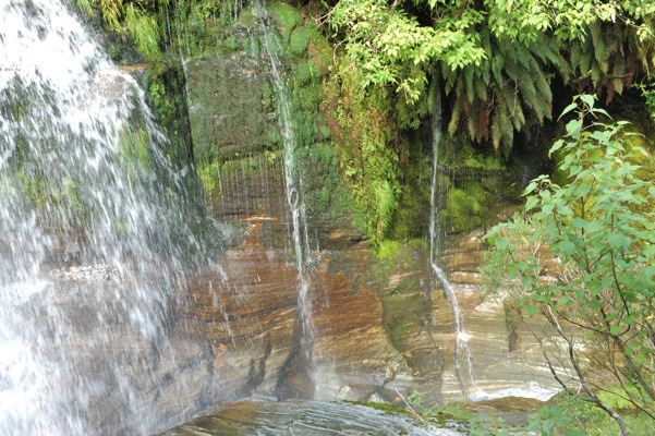
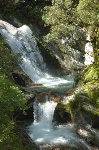
You can perhaps understand now why I wanted to show you Sunderland Falls first. If it were to have come after these pictures it would, I think, have not fared well in the comparison.

A mile or two further and we reached the end of the hike. First this hut, which is used by the independent hikers who still have two miles to go.

The photo below is of two from our group happy to be able to stop and relax.

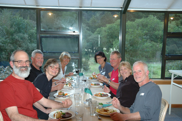
Here is our table at dinner.
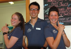
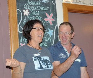
Maybe because we were all happy to have made it through the day, dinner tonight was somewhat more jovial than that of the last two nights. On the left below are Amy, Nabu, and Jess hamming it up for the camera. On the right are Rhonda and Kevin, the lead guide, helping us all make fools of ourselves.
Posted in New Zealand, Uncategorized | Leave a comment

Milford 2

Note to readers: Several of you have noted that you could not post comments because of a permissions problem. Nina has now fixed that. Your comments are most definitely welcome!

Today we have our first real hike. It is ten miles long but not particularly hard since the track is generally quite good and we only do several hundred feet of elevation gain. This entire day we will be walking along the Clinton River, having started walking along it yesterday at Lake Te Anau, where it is broad and calm as it also is at Glade House.

Today we observe it diminishing and become more wild as we head up towards its headwaters at Milford Pass.

The first thing we must do, however, is to cross from the right to its left bank on a long suspension bridge. A bridge was first built at this location in 1909; however, there have been several since then because the river enjoys washing them away.

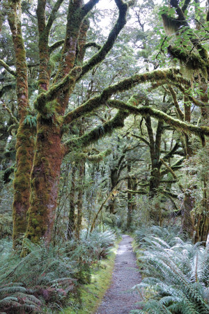
Most of today’s hike is through lush forest of Mountain and Silver beech trees like that in the photo below.

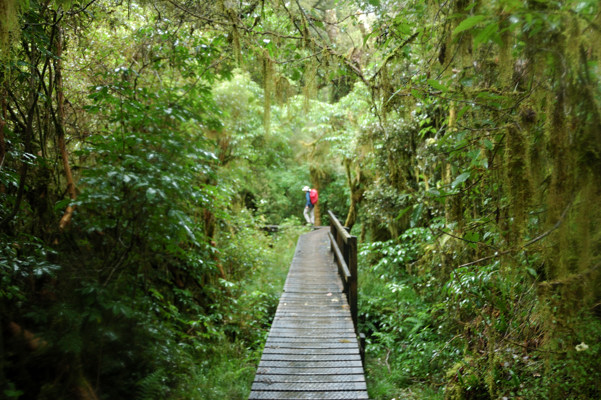
However, about two miles along the track there is a side path available to a glorious wetland marsh. Here are several of our group on the boardwalk that has been built to protect this fragile area.

Below, without further comment are some of the photos that I took of this area.

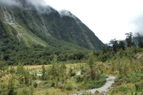
Part of what makes the scenery so magnificent is that we are walking in what the pioneers called the Valley of the Perpendicular with rock walls on both sides towering above us over 4000 feet.

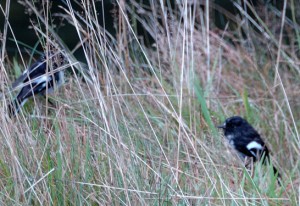
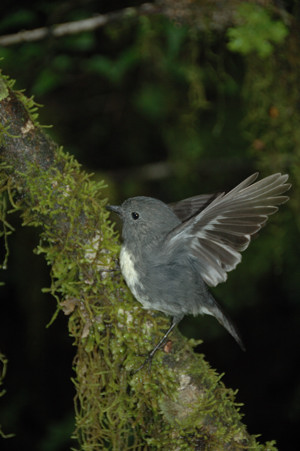
Also adding variety to this walk are the many birds. Mostly we could just hear them. I particularly like the Tui and the Bellbirds. Some we could also see, such as these Tomtits (Petroica macrocephala) on the left, and the South Island Bush Robin (Petroica australis) on the right that I could not identify.


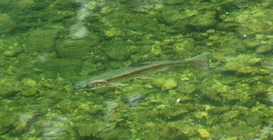
And, of course, the river was filled with fish. Here is a rainbow trout over two feet long; one of many that I felt I might be able to just reach into the river and grab or perhaps spear with my hiking pole. I also got a picture of a four foot long eel, but since it is difficult to see, I haven’t reproduced it here.

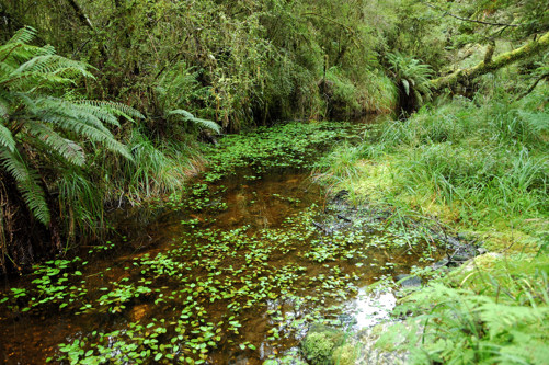
This is a beautiful creek flowing into the main river.

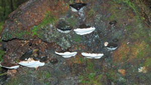
Here are fungi and mosses growing on the end of a fallen tree trunk.

What is missing in the picture below? Give yourself a gold star if you noticed the absence of trees. I mentioned how steep the walls on either side of this valley are. These steep, high walls lead to large, powerful avalanches that literally blast the trees from the landscape.

The photo below shows Hidden Lake that was created in this way.

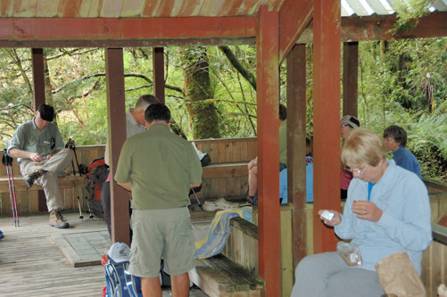
About 6 miles into this day’s hike, a shelter has been provided where we could stop for lunch.

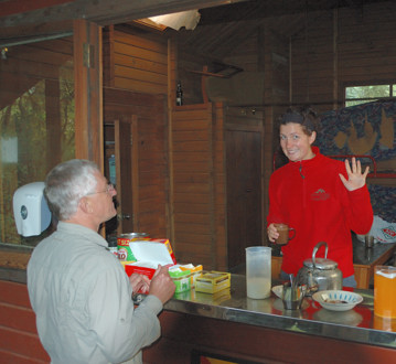
One reason for the shelter is that it provides a location for our guides to share their enthusiasm – this is Jess who was always upbeat – as well as hot and cold drinks.

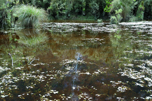
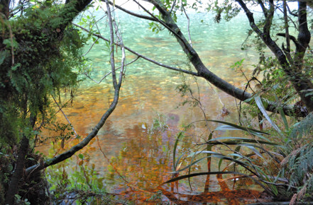
Later, we came to this spot where a creek, draining a peat filled bog is adding its tannin colored waters to the beautiful blue-green water of the Clinton.

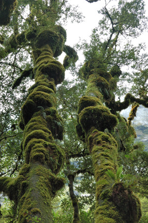
Despite the lushness of the forest, most of the soil along the track is actually thin and not overly fertile. Red Beeches grow where the soil is better. Here is a particularly large stand of them. These are fast growing and relatively short lived trees. Their trunks always seem to be heavily covered in moss.


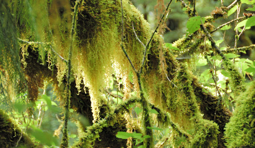
There was also usually moss gorgeously draping their branches.

At the end of the day’s hike we reach Pompolona Lodge. The origin of this name is interesting. The track we have been following was first discovered and opened up by Quintin Mackinnon, after whom the pass we are approaching was named, and his partner Ernest Mitchell. After opening up the pass to Sunderland Falls and Milford Sound, Mackinnon spent the rest of his life leading groups into the area. In the early days, these hikes took much longer and were more treacherous. It was not uncommon for these hikers to be hut bound for several days at a time by the weather. Mackinnon did his best to keep these groups happy by feeding them the meat of the Kaka, a native parrot, pigeon stew, and his famous pompolonas, scones made from mutton fat candles.

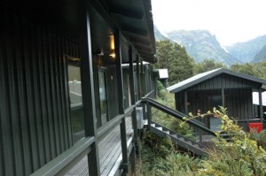
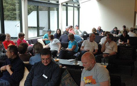
Here is most of our group relaxing before dinner in the lounge area of the lodge. At one point on the track there are historical photos of Mackinnon’s lodge. It was small, dark, and smoke filled, with bunks constructed from small tree trunks. A far cry from this.

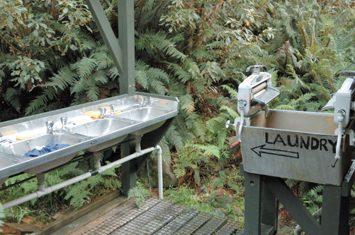
Of course, we still had to rough it some small ways. Here are the sinks provided for clothes washing – of course we actually got to wash clothes. There were also wonderful drying rooms heated by a heat exchanger on the exhaust from the generators.

Posted in New Zealand, Uncategorized | Leave a comment

Milford Track — Day 1

Most of the first day of our trip was spent getting from Queenstown to the starting point of the hike in southwest or Fjordland section of the South Island. After meeting the rest of the group and three of our four guides – Kevin, the head guide, Amy, and Nabu – we boarded a bus for a three hour drive to the town of Te Anu, which is located on a large lake of the same name. After lunch there, we met up with the bus carrying the group who had just finished the track that was carrying our fourth guide, Jess. With everyone now assembled, our bus continued 30 minutes more up the lake to where we boarded a small lake ferry that took us to the starting point for the hike at the mouth of the Clinton River.

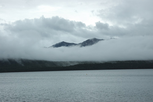
The forecast for the afternoon called for very heavy rain starting in the afternoon and continuing into the night. Although there was some rain during our bus ride and later overnight, and mountains were often shrouded in clouds on the this boat ride and our hike later, the most that we encountered was drizzle.

However, deeper into the park, especially on the other side of the Milford track, the predicted heavy rains did fall. Because these mountains do not hold much water, this rainfall raised the water levels in the watersheds of the Clinton and the Arthur Rivers dramatically, so the walkers further along on the track were walking in water that was sometimes up to their thighs.

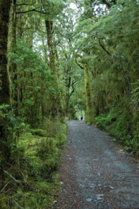
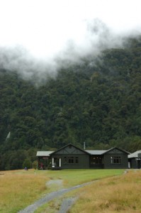
Our first day of hiking was really only a warm up: one mile long on what you can see in the photo on the left below is an easy-to-walk path. At the end of this path was Glade House, shown in photo below on the right.


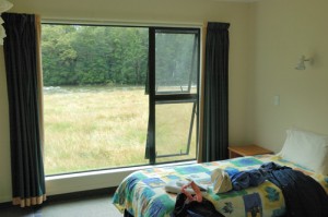
I believe I might have said something in an earlier email about how we were heading into the wilderness. That was technically true, but we certainly were not roughing it. This shows the interior of our room at Glade House and the view from it. For this and each subsequent night, our room had a bathroom with a hot shower, electricity until the generator was turned off at 10 PM, and there were great hot meals for dinner – this is a far cry from traditional hiking. Sharing the track with us are “independent” hikers (we are “guided” hikers). They stay in a system of huts run by the NZ Department of Conservation (DOC) – to minimize impact on the track, tent camping is not allowed. These huts provide dormitory-style bunk rooms, toilets, water, and hot plates to cook on. However, there are no hot showers for the independents and they must pack in all of their food and cooking utensils. The DOC manages and maintains tracks for 9 “great walks” like the Milford track and probably hundreds of lesser tracks. These tracks have the great advantage that they can be done relatively cheaply, so that families in NZ do a lot of tramping. This is all wonderful, but we are certainly going to appreciate the creature comforts of our guided hike.

After arriving at Glade House, the guides took us out on a nature walk that provided a fairly intensive introduction to the flora and fauna of the Milford Sound area – of course some of this kind of discussion happened on the regular hiking days, but with four guides and 44 hikers, we would often hike for long stretches without actually seeing our guides.
One thing we learned about was what had been the unique ecology of New Zealand, and how it has been decimated. The land mass that makes up New Zealand has been formed quite recently from sediment that eroded from, what was then the combined Australian-Asian landmass. New Zealand literally sits on the subduction zone at the boundary of the Australian and Pacific tectonic plates. The islands are being pushed up at a rapid rate – in some places as much at 10 mm per year – as the plates slide beneath one another. It was a sudden change in this movement that led to the disastrous earthquake that just hit Christchurch. It was only about 85 million years ago that this process separated New Zealand from rest of Australia; importantly, this was during the time of the dinosaurs and before the emergence of mammals.

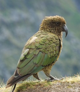
Because there were no mammals on the New Zealand land mass when it separated, the birds there evolved in very different ways than they did in the rest of the world. Without mammal predators, many of these birds did not need flight to survive and so evolved to become flightless. The kea, kiwi, and weka are several examples that still exist today, but there used to be many more. When the first Maori arrived they brought rats with them. Because these rats had no natural predators, their numbers increased rapidly and they began to wreak havoc on the bird and other indigenous populations. Later, Captain Cook and the European settlers who followed introduced other mammals the destroyed habitat and provided more competition for the indigenous species. In particular, becuase the settlers were disturbed by the large rat populations, they decided to introduce a predator to control rats. Since the early farmers objected to foxes because they kill sheep, the settlers brought what they called stoats (and we would call weasels), a vicious killer that did help to control the rats but also decimated other natural populations. Today, New Zealand is now spending millions of dollars a year trying to control rats, stoats, and possums, in an effort to restore some of the wilderness to something more like its original state. Many of the original indigenous species are gone forever and the only places where many of the surviving species can be found are some of the islands off the coast that were too small to be visited by settlers.

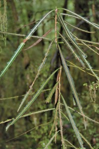
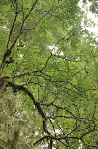
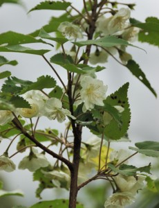
There are two other things that we learned  on this hike that I found particularly interesting. The two pictures below are of the same plant. You may have seen the smaller version, on the left, as a house or office plant. What is interesting is that when it grows tall, 20 feet or so, as on the right, it changes form into a plant with quite normal looking leaves. The two variants of this plant are so different, that it took biologists almost a century to realize that they were the same – also puzzling was that they could never find versions of the plant on the left with flowers or seeds.


Once these two variants were recognized as the same plant, the question of course arose, why do they look so different and what triggers the change from the first form change into the second. It appears that the issue is survival. The juvenile form, on the left, has tough leaves, with little area so it cannot do much photosynthesis, and so grows very slowly. However, it is also apparently not very tasty, and so it was not attractive as food to the flightless birds that used to dominant this island. Even if this variant could only grow slowly, it could survive. Because it just barely got enough energy to survive, the younger form of the tree did not waste any energy producing flowers or seeds. However, once the plant got taller than the 15 or 20 feet, placing it out of the range of the flightless birds, the plant switched to its leafy form. The leaves and stems of this form of the tree turn out to be a preferred food for many of the flightless birds, but they were now too high to be eaten. With larger leaves, this form of the tree can grow rapidly and produces flowers and seeds.

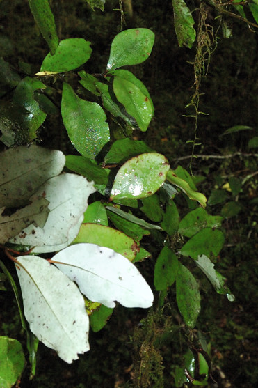
A second thing that fascinated me was what is sometimes called the New Zealand pepperwood tree, or mountain horopito (Pseudowintera colarata). Although the tree itself is not much to look at, the leaves  are peppery with, to me, a strong taste of cloves. The Maori and the early settlers used these leaves both to flavor food and medicinally. One could, I imagine, use the leaves in cooking like bay leaves. This is something that I would very much like to try. Note also that, although the tops of these leaves are a normal green, the bottoms are bright white. This property made these leaves useful for marking paths.

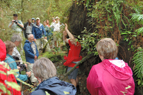
The photo below shows the group as Kevin makes a point about a fallen tree that is behind him.

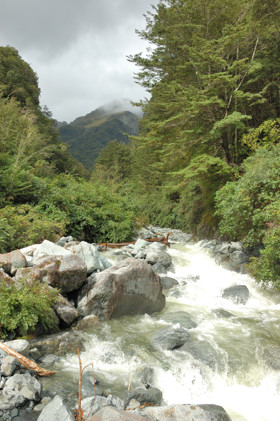
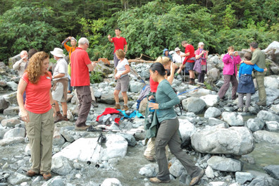
The endpoint of this walk was Glade Burn, the rapids in the photo on the right. The photo below shows a portion of our group, all doing different things, on the rocks that form the bank of Glade Burn.

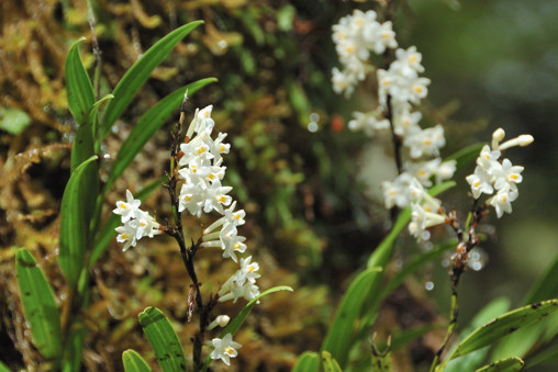
For a parting shot, I leave you with this orchid that was growing in a tree near Glade Burn.

Posted in New Zealand, Uncategorized | Leave a comment

Driving Inland to Queenstown

Not many pictures or much to say today.

We finished the drive to Queenstown. Queenstown is a “destination”; a place to which people come from around the world both for its beautiful lake setting, surrounded by majestic mountains, and for skiing in the winter and extreme sports in the summer – apparently Queenstown is where bungee jumping began.

Tomorrow morning we leave for our 5 day, Milford Track hike. This will be in some of the most beautiful and best preserved wilderness in the world. However, it really is wilderness, so no more blog posts until we get back. I will, however, take lots of pictures and collect other observations.

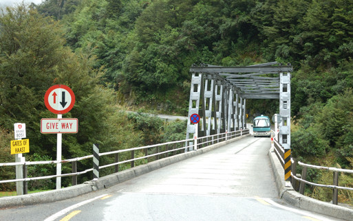
One of the amazing things about New Zealand is how few people there are in it. One can see this in the road system. From Christchurch west to Greymouth and then from there down to Queenstown we have mostly been driving on the highest level national highways. They have all been two lanes – not two lanes in each direction, but two lanes period. Many of the bridges since Arthur’s pass have been only a single lane, like the Gates of Haast Bridge in the photo below. At each end of such a bridge, is a sign instructing drivers who is to “give way” – Nina and I are going crazy because we have not been able to figure out the system for determining this. This system works because rarely do you have wait, there has been so little traffic.

Of the traffic there is, most of the vehicles are identifiable as rental cars and at least half of those are camper vans.

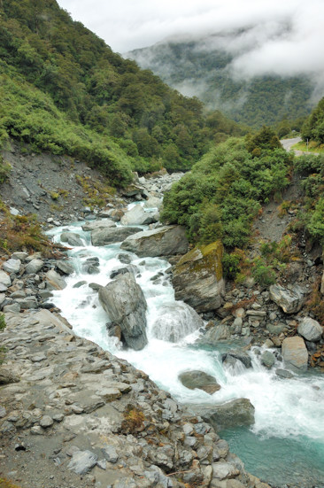
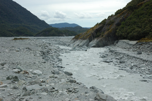
The Haast River, where we crossed it, is, as you can see in the picture on the right, a white water rafters, dream. Rivers like this have largely been the exception in our experience here. Most of the rivers we have seen are like the one shown below – wide, with huge gravel beds suggesting that a lot more water comes down them at other times.

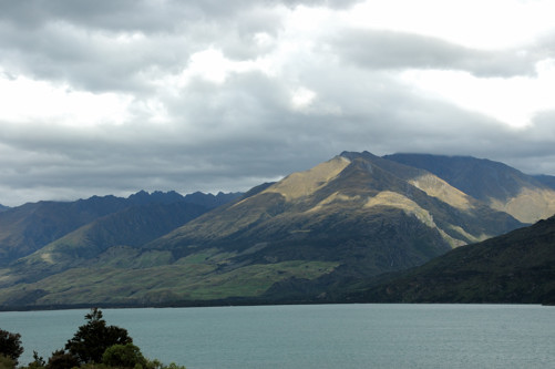
On the way to Queenstown is another tourist resort called Wanaka. The city is on the southern end of a lake with the same name. The photo below, which reminds me of ones that I took in our walk across England, is of the northern end of this large lake, perhaps 20 miles from the town.

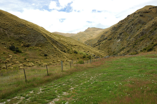
Finally, as we drove from Wanaka to Queenstown we drove on Crown Range Rd. For part of the way, this road sits at the bottom of the V with steep grassy hills on each side. This shot gives some sense of these hillsides, which were gorgeous and completely different in their vegetation from anything we had seen.

Goodbye for 5 days (or more since it may take a while to compose the first posting after we get back)

Posted in New Zealand, Uncategorized | Leave a comment

West Coast 2 – Franz Josef Glacier

We need to be in Queenstown Sunday afternoon to get ready to leave for the Milford Track hike Monday morning. Because the drive from Hokitika to Queenstown is 9-10 hours, we decided to take it in a more leisurely two days by stopping in Haast, the last town accessible from the main highway on the west coast of the South Island. There is still a good deal of west coast south of Haast, but it is inaccessible by car.

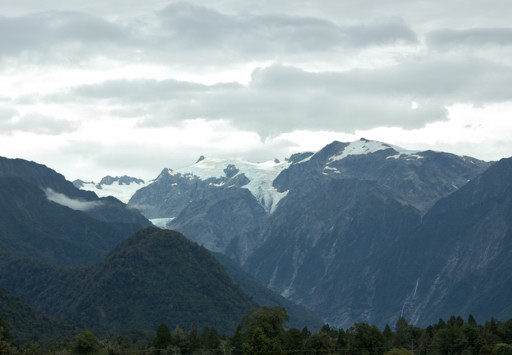
The main attraction on the drive to Haast are two glaciers just in from the coast: the Franz Josef glacier and the Fox glacier. Because getting close to it requires a longer walk, the buses do not stop at the Franz Josef glacier so that’s where we decided to go.

These glaciers exist because when the moisture laden air coming off the Tasman Sea has to get over the high (10,000+ foot) mountains just in from the southwest coast, much of the moisture becomes rain, on the coast, or snow, higher in the mountains. The glaciers then push their way down off of the mountains into the tropical rain forest that is at sea level. Quite a combination!
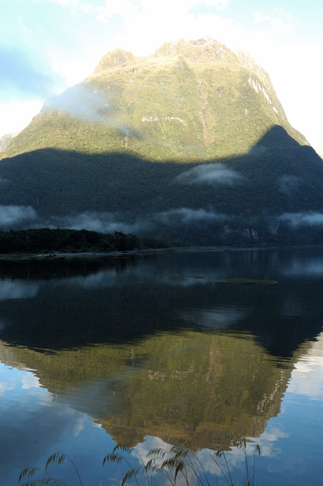
The photo below shows the top of the Franz Josef glacier.

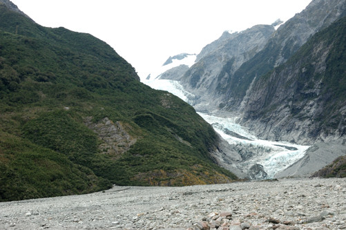
The photo below shows the glacier’s leading edge as we walked up to it. The gravel in the foreground was dropped as the glacier has receded over the years – a century ago, the glacier filled this entire basin and extended out into the ocean.

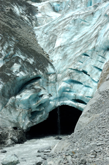
The photo below shows what I actually found most interesting about seeing the head of the glacier up close. Here you can see the large hole out from which flows a river of water that runs under the glacier.

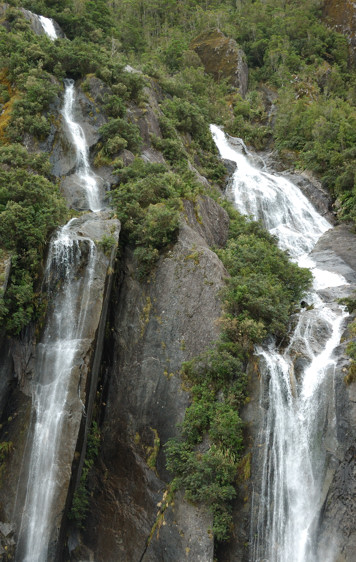
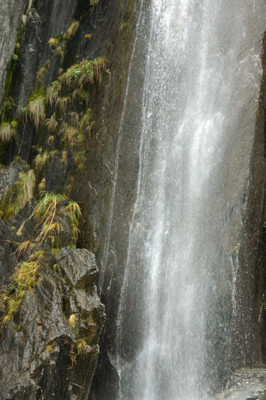
There were many other things that caught my eye as we walked to and from the glacier. Below are two photos of, what I thought was a beautiful waterfall coming down the side of the valley leading to the glacier. Since the stream that feeds these falls runs through a tropical rain forest, the water in these falls is not ice cold. So, on a warm day (but not this day), you can see people frolicking in the spray from these falls with the glacier in the background.


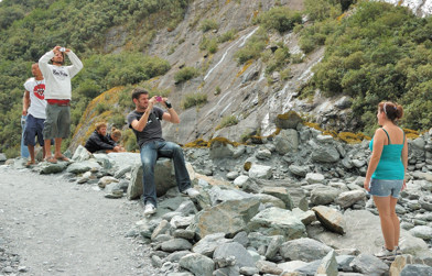
I found the people photographing the glacier, or themselves with the glacier as a backdrop almost as interesting as the glacier itself.

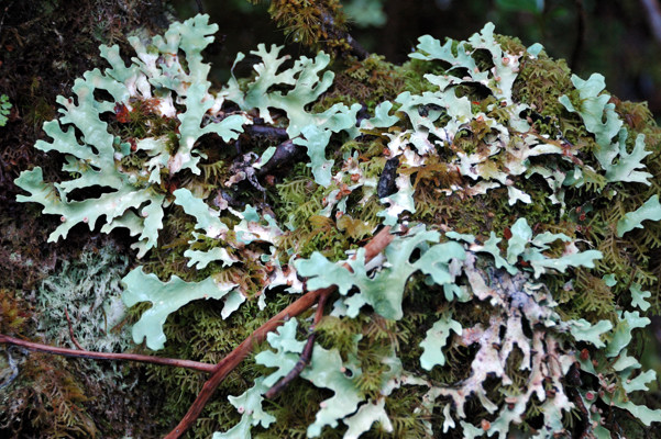
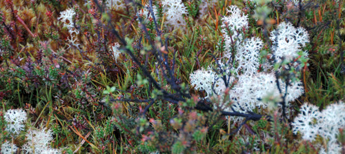
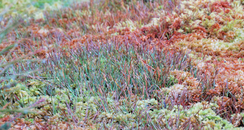
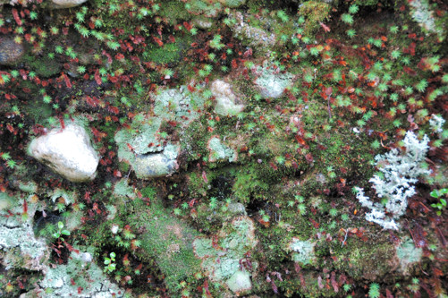
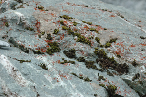
Continuing a theme that I started several days ago, below are two shots of lichen and other small plants that caught my eye.


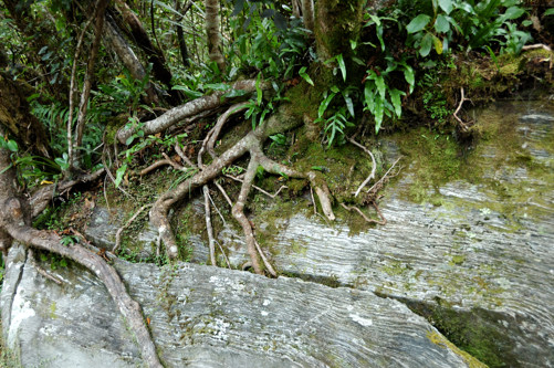
Finally, I was struck by how the roots of the small tree shown below found, and then opened further, a crack in this large boulder and now draw sustenance and support from it.

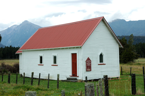
Continuing south, the road snaked over a number of ridges. Between each pair of ridges was a flat, fertile river floodplain that invariably supported a few cattle and sheep stations. This church appears to be the center of one of these small communities.
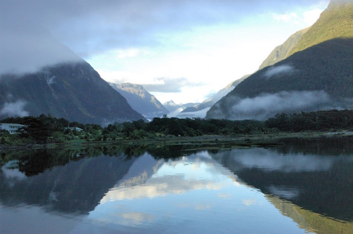
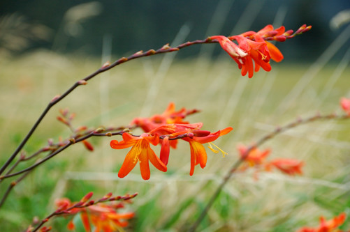
Next to the church, I photographed the gorgeous red-orange flowers, shown in the photo below, which we had seen repeatedly along the highway.

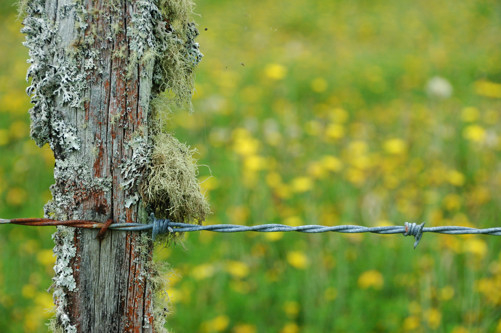
The shot that I will leave you with is of a fence and field next to the church that caught my eye.

Posted in New Zealand, Uncategorized | Leave a comment