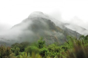
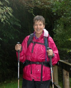
It rains a lot in southwestern New Zealand. The moist air blowing off of the Tasman Sea hits the high mountains we have been walking through and, at times the water is said to come down as if from a fire hose. The Arthur River watershed averages 7 m (about 22 feet) of rain a year. This is not so much because it rains all the time, but when it rains it often rains hard. Because the mountains are essentially solid rock, with very little soil to hold water, the rain that falls comes down off the mountains quickly creating hundreds of water falls and ending up in the river in a matter of hours. We had been very fortunate in having great weather up until today and fortunate even today that the rain that fell was light and not heavy. Still, it was a wet walking day.
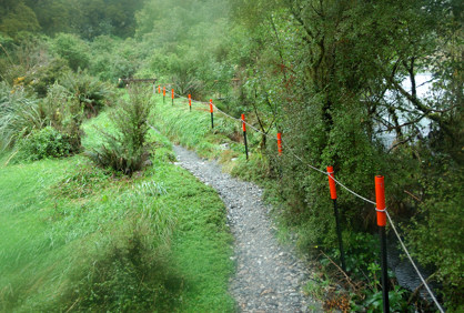 See the stakes with the red tops in the photo below. Those are to tell hikers where to put their feet when the water has risen up over the level of the path. We saw these setups on the second day and today. Fortunately, because the rain was light, we never saw water high enough that this was an issue. However, we were told that just four days before the water on this section of the trial was thigh high.
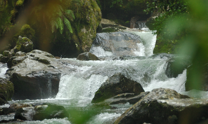
There was, however, enough rain to have the creeks flowing nicely.
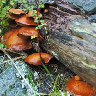
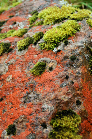
This was a perfect day for mushrooms and lichen.
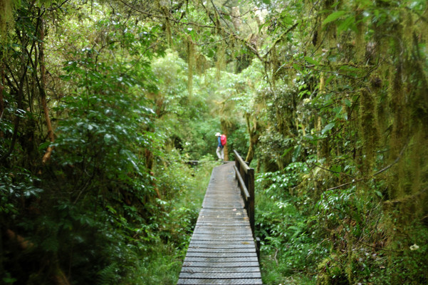
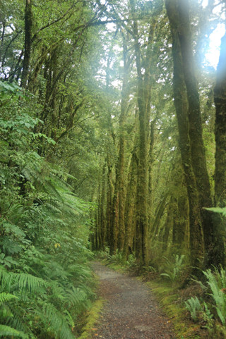
Down off of the pass, we were once again walking through the rain forest.
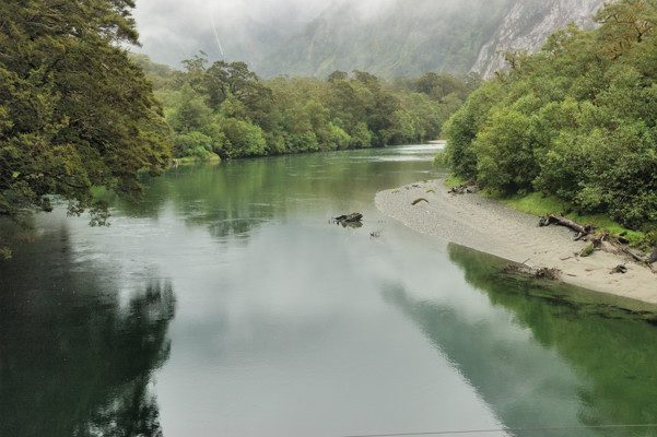
The Arthur River was peaceful, but getting larger.
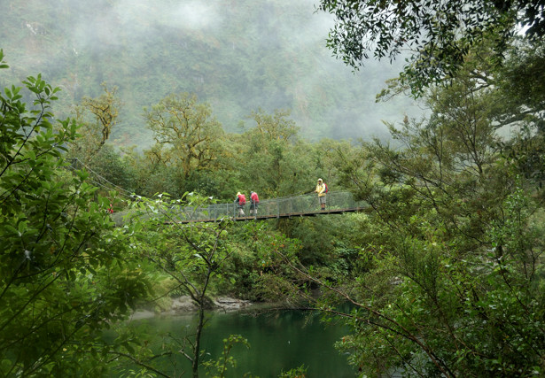
Which meant that we were once more crossing suspension bridges.
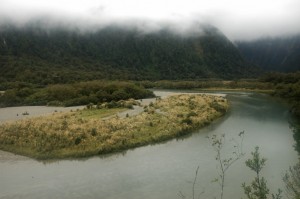
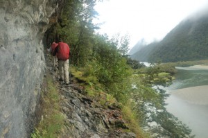
In the photo on the left below, notice how, as the river bed widens, a sand bar has formed. On the right is a section of the track that made me nervous. Although this is only about 40 feet above the river, the track is narrow, the rocks are wet, the footing is poor, and the water below was not very deep. Guess what, we all made it.
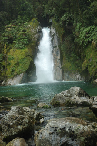
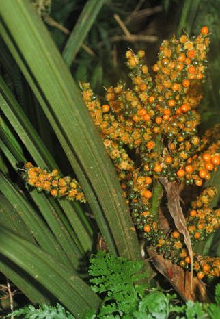
Here, is Mackay Falls. On the right is a plant with fruits that caught my eye.
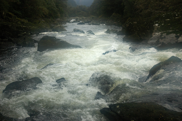
About a mile before the end of the track, the valley narrows, presumably the rock is harder here, and the previously wide, placid Arthur River now begins to look like a kayaker’s dream.
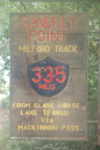
The last mile of track is broad and flat, much like the first mile. And then we reach the end. By the way, Sandfly Point is aptly named.
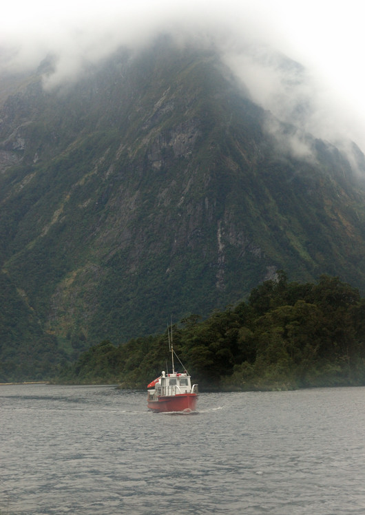
And, almost as if necessary to complete the symmetry of this journey, a small boat arrives to return us to civilization. 