Yesterday being Sunday, we decided to attend a service at St. Paul’s, the Anglican cathedral in Dunedin. This was especially fun today because it was Commonwealth Day, so, in addition to the singing of a small, but wonderful mixed, adult choir, we were treated the congregation singing “God Save the Queen,” the reading of the Queen’s Commonwealth Day proclamation, and a rendition of the Commonwealth Day poem. There were many women and girls taking part in this service, because the Queen’s proclamation was about “Women as agents of change.”
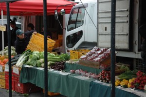
The weather yesterday was also, as they say here, “fair,” if not outright gorgeous. We had been disappointed the day before. After going to the Farmers Market, we had intended to drive to Aramoana, the tip down at the end of Otago Harbor across from the Otago Peninsula where we had explored last weekend. [I realize that I have still to write about some of the things that we have done since getting to Dunedin ans this is one of those things.] However, it quickly became clear that there was not enough visibility to make that trip worthwhile.
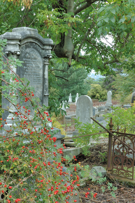 Instead, we drove back into Dunedin, where we simply wandered through a section we had not previously explored. Here we stopped to watch some of a boys’ cricket match and a pick-up game of touch rugby. We also stumbled onto this old grave yard, with grave stones mostly from the late 1800s.
One thing that we thought we might do when the girls are here is bike (or hike) part of the Otago Rail Trail. This was a railroad line to the Otago gold fields and has now been converted into a hiking and biking trail through want is meant to be a section of Central Otago known for its landscape.
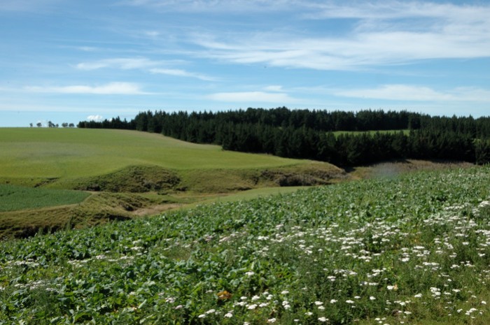
It takes 4 days to bike the entire trail; however, even if we wanted to do it all, we probably have at most 2 days free to do it. So we decided to reconnoiter by driving along it to Ranfurly, which is about at the half way point. The initial section of this half of the trail from Middlemarch to Hyde did not seem that special; however, the next section from Hyde to Waipiata seemed great. Of course we were on the road not the trail. Also, the people we talked to in Ranfurly, who had been out biking, raved about a section west of there from Lauder to Auripo. So, if we can work out the logistics, perhaps we can do some of this. Another reason why the girls might enjoy this trip is that, oddly enough, in Naseby, just 14 km from Ranfurly is a world-class, indoor Curling rink. Ever since they saw curling on TV, the girls have always told us that they thought curling would be their ticket to Olympic participation.
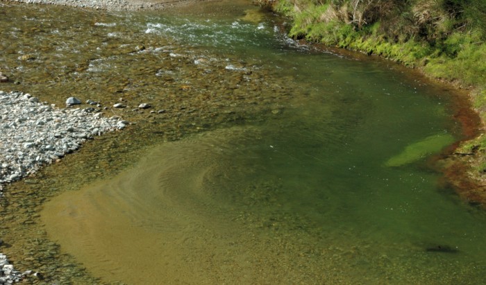
Driving to Ranfurly, we had gone west from Dunedin and then north to Middlemarch. Rather than drive back the way that we had come, we drove east to Palmerston and then headed south close to the coast. The two routes diverge at the Kyeburn River. This is where I took the photo below.
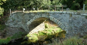
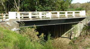
Coming into Plamerston is where we came across Bowker’s Bridge. This is the last remaining example of the stone arch bridges that had been used for a coach road that ran along this route. Amazingly, it was in use until 1962, when it was replaced by the testament to the bridge-builder’s art on the left.
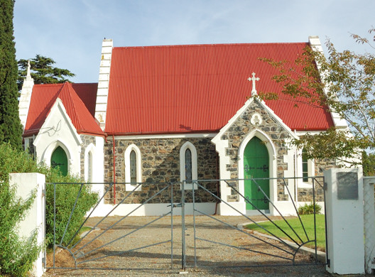
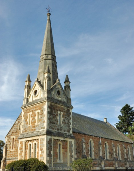 Palmerston is also where we stumbled onto the gorgeous church, shown in the photo on the right, St. Jame’s Presbyterian. The Anglican church shown below, which was just around the corner, St.Mary’s, was also charming, if somewhat less impressive.
From Palmerston, we could have simply driven home on SH 1 in 45 minutes. However, Liz Franz, the professor whom I am visiting here, had raved about the train (for tourists only) ride from Dunedin to Palmerston so we tried, given the limitations of the roads and our maps, to follow its route south. South of Waikouati we got on a wonderful coastal road that runs through Karitane and Seacliff before joining up with SH 1 again at Evansdale.
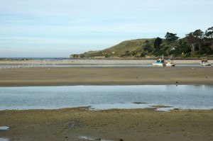 We had something of an adventure in Karitane. It was close to low tide and, since we had been driving for a while, we decided to stop at a spot where the Waikouati River enters the ocean near the Huriwa Historic Reserve. Our plan was to take off our shoes and roll up our pants legs so we could walk out onto a sand bar in the river there. This photo, although not otherwise all that interesting, may help to make what follows more comprehensible. The sandbar is the middle of the three patches of sand. It divides the river here into two channels, which come together at the right and make a hard left turn to enter the ocean, which you can just see past the third patch of sand. The hill in the background is part of the Huriwa Reserve.
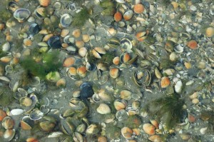 We were able to cross the sandbar in just a foot or so of water. To the left you can see the bottom of the part of the river we were walking across. The photo below is taken from the sandbar.
While we were walking across the sand bar, we noticed that a strong current had begun flowing back from the ocean into the far channel. Perhaps you can see it also in the photo below. Looking around, we then saw that the water was quickly starting to cover the sand bar itself. By the time we started back across the channel to the bank of the river where we had left our car, the channel we had just walked through at most 15 minutes previously, now had over two feet of fast flowing water in it that both made walking difficult and obscured the bottom.
We made it across without mishap, although our pants legs got wet. It was such a nice day that wet clothes were hardly a problem; however, we learned an important lesson about how quickly the tide can change here.
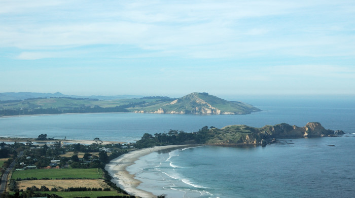
Heading south from Karitane, the road climbs to get across a headland. The photo below is from that headland looking back to the north. The Huriwa Reserve is the peninsula in the middle of this photo. The mouth of the Waikouati River is visible at its left side.
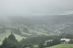
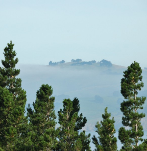 Instead of getting on SH 1 again at Evansdale, we again tried (but, as it turned out failed) to follow the route of the railroad and got onto Mt. Cargill Rd. Oddly enough, it was the other end of the road that we had tried to take out of Dunedin the day below, until the fog turned us back. As you can see in this photo, although not so bad, we did not completely escape the fog this day either.
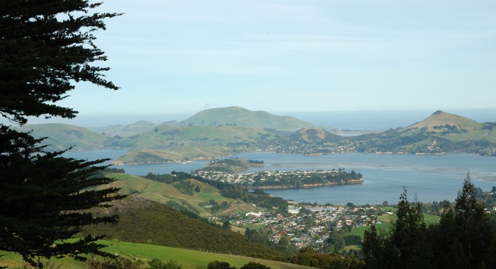
Dunedin is at the west end of the Otago Harbor. By following Mt. Cargill Road rather than SH 1 we went more directly south over the hills and come down about halfway along the harbor near Port Chalmers. The photo below looks down onto the harbor. Point Chalmers is the built up area in the foreground and on the peninsula. Across the water is Portobello, on the Otago Peninsula, which we had driven through last week. The water in the far distance is the Pacific Ocean.
We drove into Port Chalmers, which we found to be a large, active port complete with a big container loading facility. At this point, since it was getting late, we decided to simply make the 20 minute drive back to Dunedin.
