Since coming to Dunedin, we have taken a number of small trips on the weekends. Both Saturdays, we have gone to the Dunedin Farmers’ Market. The first Saturday it was raining, but the second was better. The Market is very good; it doesn’t have as many stalls as the Irvine market, but it has more variety. We have bought chicken, lamb, venison, and fish there, as well as vegetables and cheese, and baked goods.
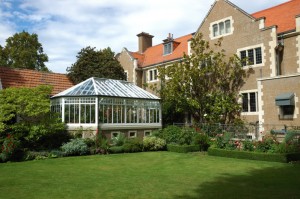
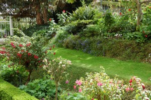
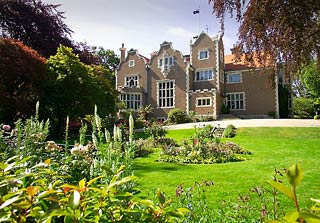 Saturday of the first weekend we made an excursion to Olveston, a stately home only about two blocks from our apartment (can a two block walk be an excursion?). The house was built by the Theomins, who made their fortune importing Sheraton furniture from England. Eventually, their daughter who never married ended up giving the house to the city. It is believed that because this gift was planned before her father died, she made no changes in the house. So it remains a well-preserved relic of wealth in the Victorian era. The house is only shown on tours and we found ours quite interesting. They don’t allow photos of the inside. I could not get a good shot of the front because of some hedges; however on the right is one that I have borrowed from their website. Below are photos of the back of the house and of a part of the garden.
Sunday we drove out to the end of the Otago Peninsula. (I mentioned this excursion, which I am only now describing, in the post for last weekend.) This Peninsula forms the south side of the 20 km bay that is called Otago Harbor.
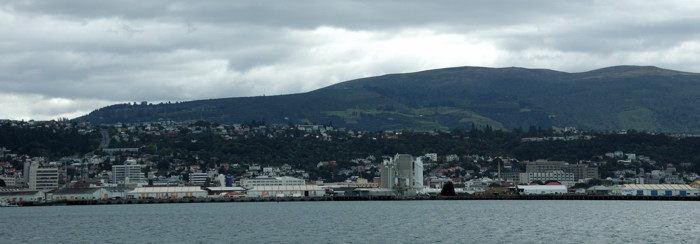
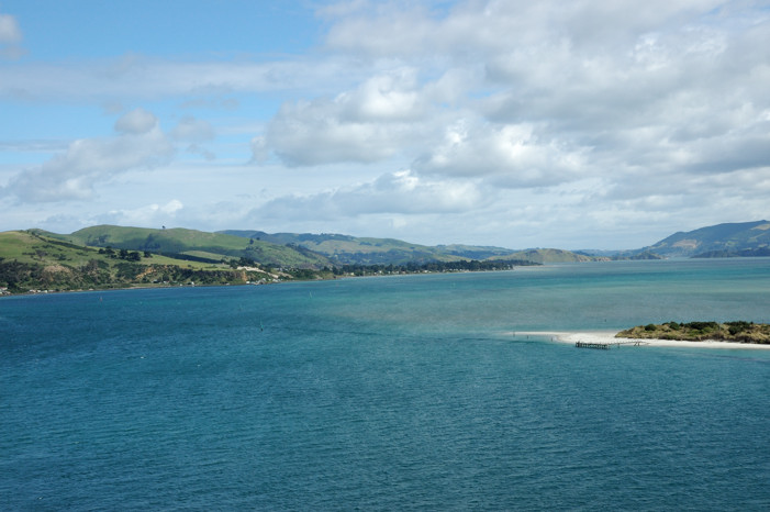
Here is the part of Dunedin in which we live from the other side of the harbor. Our apartment is on the hillside close to the center of this picture.
This is looking away from Dunedin, out along the harbor, from about the same place.
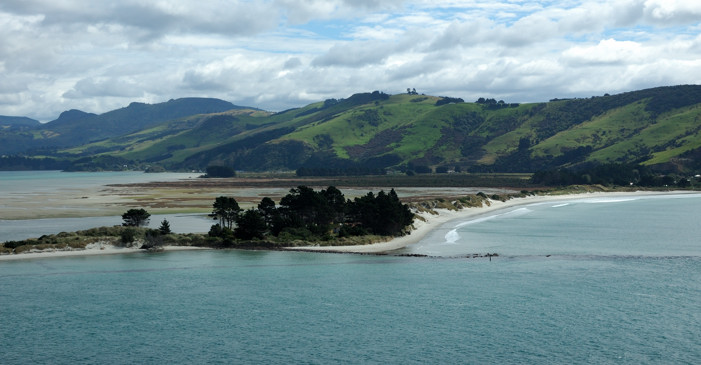
The road that runs all the way to the end of the peninsula is a narrow, twisty road that follows the shore, usually close to the waterline. Even after all the mountain driving we had done in previous weeks, this was a hard drive. We were rewarded, however, with some excellent views. This is almost at the end of the harbor looking across to the mainland near Aramoana. The spit of land acts as a breakwater for the harbor. In the trees are several houses, one of which used to be the harbormaster’s house. Nina thought it would be a wonderful place to live; Ted was dubious about how it would be in a bad storm.
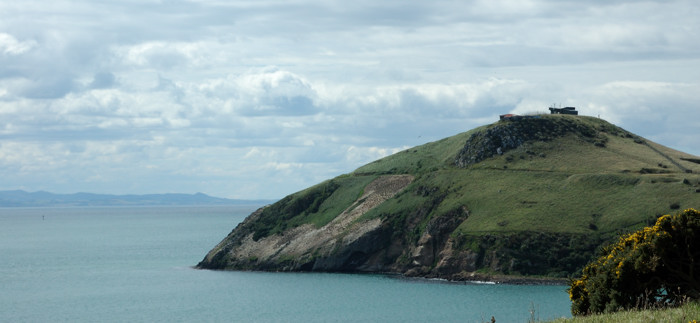
The photo below looks out to the headland at the end of the peninsula. This is a sanctuary here for the Royal Albatross an endangered species that builds its nests above the cliffs. Also here are Blue Penguins, Fur Seals, Sea Lions, and the rare Stewart Island Shag, about which more later. Beneath the reserve lie the tunnels of Fort Taiaroa, established over 100 years ago to counter the anticipated threat of invasion from Tsarist Russia.
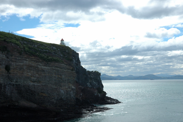
These are the cliffs on the other side of the headland. Although we did see several albatrosses flying at a distance, we never saw any birds land nor from this distance can one see the nests; however, there were busloads of people at this lookout with us. Still I thought these cliffs were beautiful. Inevitably, for a steep price, it was possible to be taken to a blind where you could observe the birds up close. We did, however, see a video of an albatross up close, for free, in the Royal Albatross Center and you can see some wonderful pictures if you follow the link to their website.
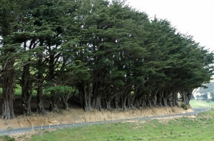
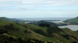
There is a second road that runs from the mainland about two-thirds of the way out to the end of the peninsula. We took that on the way back. The fact that it is called Highcliff Rd. tells you that the driving on it was no less difficult, but we did enjoy some different, stunning scenery, although by now the clouds were again dominating the sky as they had earlier. Below on the left is a picture of an amazing line of trees, planted as a windbreak, that seem to have survived having the road cut into their bases. On the right is a view from this road down to the south side of the peninsula. The water here is the Pacific Ocean, not the Otago Harbor.
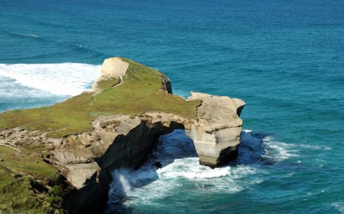
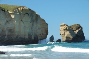
On Wednesday of the next week, Liz Franz, whom Ted is visiting, and her husband, Mike Bowden, and son Matai took us to a couple of special local places, which we probably wouldn’t have found on our own. First they drove us to Tunnel Beach (a different one from the one Taylor and Haywood explored on the North Island). As we approached the area by a long walk downhill from the carpark, we saw what appeared to be the tunnel.
However, we are quickly told that thus was not THE tunnel. The tunnel is a low passage with stairs (Ted had to duck going down them) cut into the hillside on the left of the picture above. It was created by the owner of the headland, who lived in a castle, to allow his daughter, who loved to swim, to get down to a very private beach just under the castle. (This story has a sad ending. The daughter drowned one evening while swimming here.) Mike’s grandfather had once owned the land above the other headland that forms the beach. Although the ruins of the castle were on it, the land was used as a sheep pasture. The current owners want to put houses on this land; however, the beach and the land immediately bordering it are now public land.
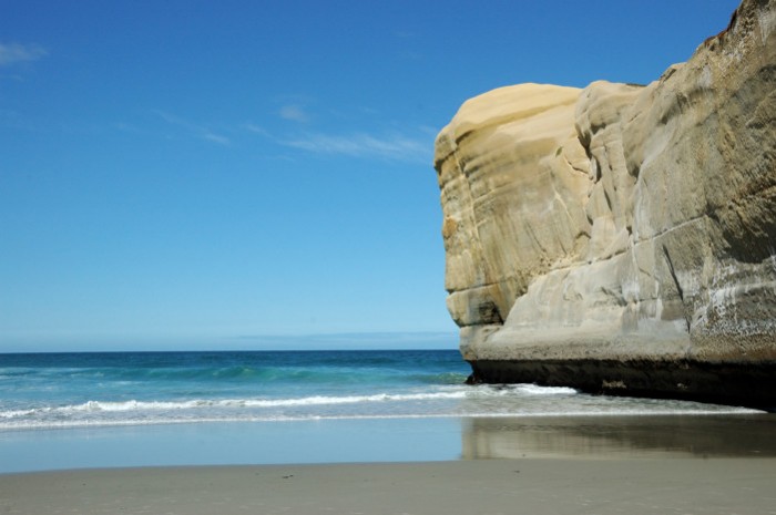
We climbed down the tunnel and came out on one of the first sand beaches we have seen here. The picture below shows the beach and a cliff which is the backside of the headland in the previous picture.
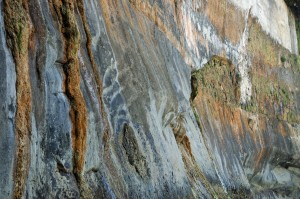
The two photos below show the headland on the other end of the beach and a piece of the cliff near the beach, which looks like it could be a tapestry or a wallpaper design. Together, they make this beach inaccessible, except by water or the tunnel.
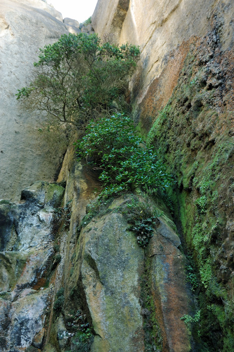 The photo to the right shows a beautiful section of the cliff behind the beach.
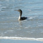
There were a number of people there, some of whom were braving the icy cold water to swim briefly. There was also the bird in the photo below. Related to the Stewart Island Shag, this is a Spotted Shag or Parekareka (Phalacrocorax punctatus). Here he looks like he is truly a water bird.
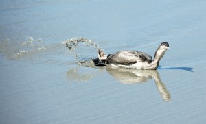 However, watching him, it soon became clear that being in the water was not his natural element and that, in fact as you can see to the right, he was waterlogged and having trouble getting up.
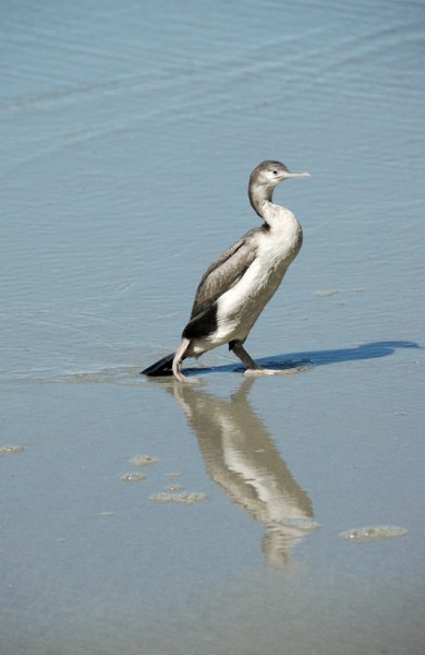 Here you can see he did finally succeed in standing up and began to dry off. However, when some of the other people on the beach scared him, although he managed to fly, he could not get very high, and when he tried to land on the cliff he could not get a good hold and slid back into the water, where he had to start again. We saw this entire process repeated twice! We hope that he made it.
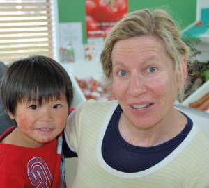 After leaving the beach we went for ice cream. This is Liz and Matai at the ice cream shop. I’m sure that Liz would want it made clear that Matai’s face is fine; however, he was very proud of the ink stamps that he had put on his face that morning.
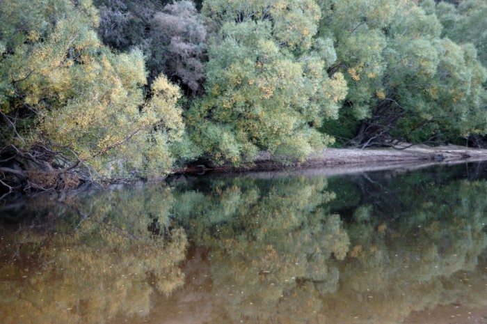
After that they took us to a scenic reserve (apparently their names for parks; however as you can see below, it actually was quite scenic) on the Taieri River. There they let their dogs, which had had to wait in the car while we were at the beach, run free and chase sticks in the river. To finish the day we all went for dinner in Mosgiel.
This post more or less catches us up on the things we have been doing up until now. But things are undoubtedly about to pick up again. This evening the girls will arrive by bus after their trek across the North Island.
One Comment