WARNING: This post is long and has LOTS of pictures.
Day 3 of the hike is what makes the Milford Track famous. The Milford Track has a reputation of being the best hike in the world, a distinction that apparently began with an article by the New Zealand poet Blanche Baughan published by the London Spectator in England. The article was originally titled A Notable Walk but was changed by an editor to The Finest Walk in the World and the tag line stuck. Both Nina and I think that there is a lot of hype in that claim — certainly to think it true you would have to really love rain forests. However, today’s hike, on a nice day, surely rivals the best days of hiking anywhere.
Today’s hike is also challenging — certainly the most difficult of the three serious hiking days. Not only does it cover 13 miles, but one must also go up and over Mackinnon pass almost 3000 feet up and then down. Adding to the difficulty, the descent is much steeper than the ascent and the trail more rough. We were awoken at 6:15 to get an early start.
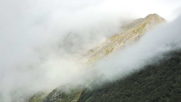
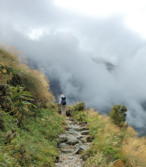
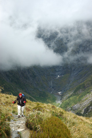
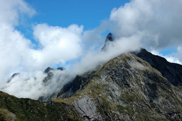
Our luck with the weather continued today. Although there was rain overnight and we awoke in a cloud, Nina and I did the ascent slowly as the cloud cover was lifting, as you can see in the photo below. By the time we had reached the top of the pass, the weather was, as they say here, “fine.” Our group has a number of hikers who appear to approach each day’s hike as a race; their reward today to was to have completely missed the stunning views from the pass.
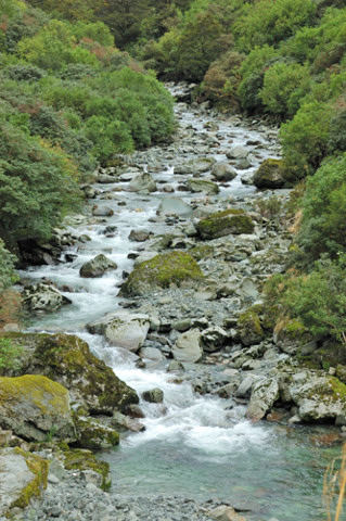
The Mackinnon Pass separates the Clinton River watershed, which we have been hiking up, from the Arthur River watershed, that we will be hiking down tomorrow. So, for the first parts of the hike today, we are seeing the Clinton River diminished to a fast running stream.
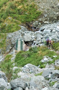
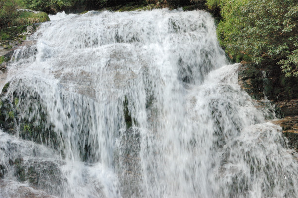
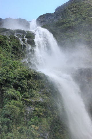 Although now eclipsed by other scenery, in some sense, the raison d’etre for this hike is the Sunderland Falls. Although we were not able to see them until the end of the day, for narrative purposes, I’m going to skip ahead and show/tell you about them now. At 580 m (1904 feet), the Sunderland Falls are certainly impressive and, depending on how one measures these things, some of the tallest in the world. As you can see in the photo, the falls are divided into three stages: the top section is 248 m, the middle 229 m, and the bottom 103 m.
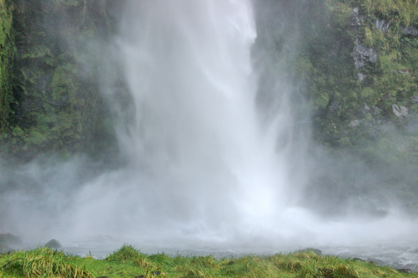
The photo on the right was taken from about 200 feet away from the base of the falls. However, in many ways, the experience is most impressive closer to the base where the falling water literally smashes onto rock. When you get closer, as in the photo below, it is not possible to see the upper sections, but here you are enveloped in the spray — keeping my lens dry was a challenge! — and the sound is simply overpowering.
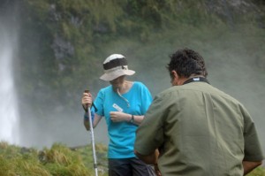
As some of us found, this is a great place to take a cold shower.
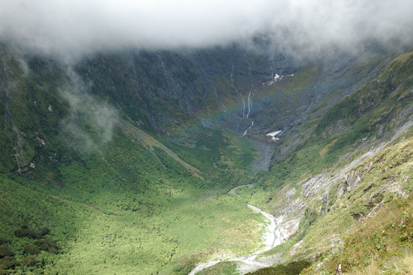
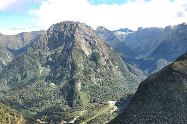
The world first learned of these falls in 1880, when Donald Sutherland and John Mackay, who was the first European residents of Milford Sound explored up the Arthur River watershed. About half way up the river they found a gorgeous waterfall (pictures in the next posting). They flipped for naming rights and Mackay “won.” Further up the river they encountered what is now Sunderland Falls, which are impressive because they are many times taller, but arguably less beautiful than Mackay Falls. Sunderland, who today would have been a resort developer, built a track from Milford Sound to bring visitors in to see his falls, which he claimed were over a mile high. 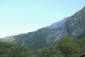 (If you have been reading carefully, you will know that subsequent surveys showed that his claim was wildly exaggerated.) He promoted the combination of the sound and the falls as one of the wonders of the world. Although popular, the area did not draw large numbers of visitors because accessibility was limited by the difficulty of navigating the waters of Fjordland and the lack of a good anchorage in Milford Sound, which, as I will discuss in two days, is quite deep. So Sunderland wanted desperately to find a land route into the area. However, his explorations were curtailed by the apparent dead end created by the cirque at the top of the Arthur River watershed, shown below from Quintin Lodge, which is the destination of today’s hike.
As I described yesterday, in 1988 Mackinnon and Mitchell, were exploring the Clinton River watershed, also with the aim of getting to Milford Sound. From this direction, they walked up onto the saddle that forms the back of this cirque from Clinton River watershed, as we will do today. They then found the way down into the Arthur River watershed that Sunderland had missed and thus discovered what is now Mackinnon Pass. Until his death, Sunderland was peeved that Mackinnon had been the one to create a overland route to the falls and Milford Sound. This track would be the only overland route until the Homer Tunnel was opened in 1954.
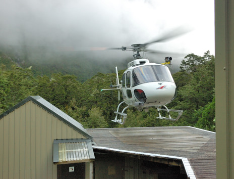 Returning now to the narrative of our day, it began with a three mile hike from Pompolona Lodge to the base of the pass. After about two miles we reached the DOC hut, where the independent walkers spent the night and stopped there to use the facilities, the last before the
  pass. I mention this only because while we were there we heard a helicopter, which proceeded to land on a pad built next to the lodge. I found this very impressive because the spinning rotors could not have been more than 20 feet from the side of the lodge as the helicopter set down.
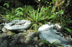 It turns out that this chopper was bringing in an emergency medical team to treat one of the independent hikers, who was eventually airlifted out. Although this has not always been the case, for the last 20 or so years, all transport in or out of the track has either been on foot or by helicopter. The carry in all the food and fuel for the lodges and haul out all of the refuse. But that is not all. They were used to bring in all of the building materials used to construct these lodges and maintain the track. The photo to the left shows two large sacks of gravel, flown in by helicopter for this purpose.
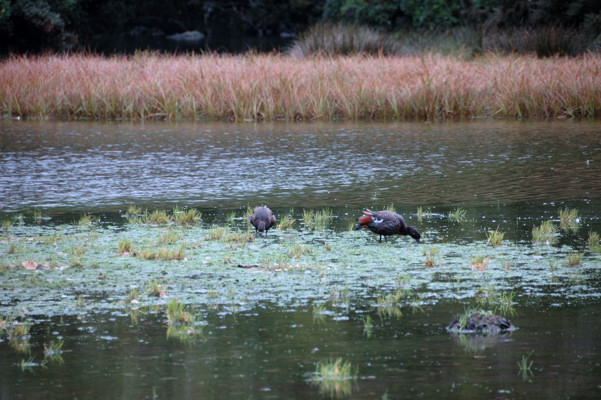
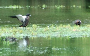 Leaving this hut, we came to Lake Mintaro. Mackinnon originally called this Lake Beautiful, and, although perhaps not original, as a description this is certainly appropriate as I hope I have captured in the photograph below. I was also intrigued by the Paradise Ducks (Tadorna variegata), which were there. The photo on the right provides a better look at two of these guys.
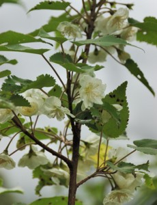
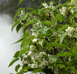
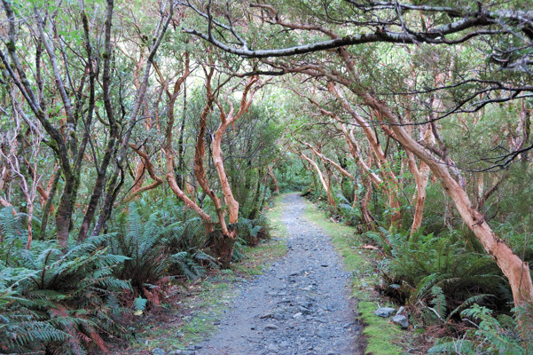
Before starting up the pass, we also passed through the stand of New Zealand Tree Fuchsias (Fuchsia excorticata) shown below. These flower like normal fuchsias, so I imagine that earlier in the year this stretch of the track is spectacular. I included this photo here, both because I like it and because these trees provide an interesting contrast to the Red Beeches that I included yesterday. Recall how the beeches are covered in moss, an occupational hazard for trees in a rain forest. This is not good for fuchsias, however and to avoid this problem they continuously shed their bark.
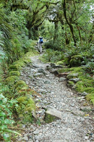
The hike up the pass to the monument to Mackinnon, which is not quite at the top, is less steep because it consists of a series of 11 switchbacks. It is not until the 8th of these that we got above the tree line. Below on the left is Nina hiking the first switchback and on the right she is on the 9th. You can see the difference in the vegetation.
One advantage of being above the tree line is the views. The photo below shows Nicholas Cirque, a little beyond where we are climbing Mackinnon Pass. This is the actual head of the Clinton River Watershed. Can you see the rainbow?
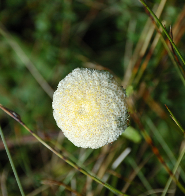
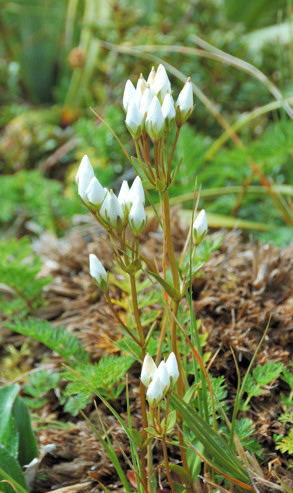
Another advantage of getting above the tree line is that, even early in Fall, there are still interesting alpine flowers. I photographed many of them. Here, without comment (or names), are some of my favorites.
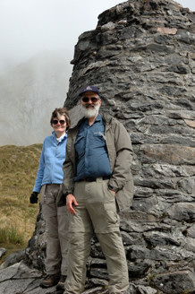
I guess just to prove that we really got there, on the left below is a picture of us beside the monument to Mackinnon.
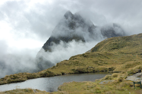
From here, there are mountain peaks all around. This is Mt. Hutt with a tarn in the foreground.
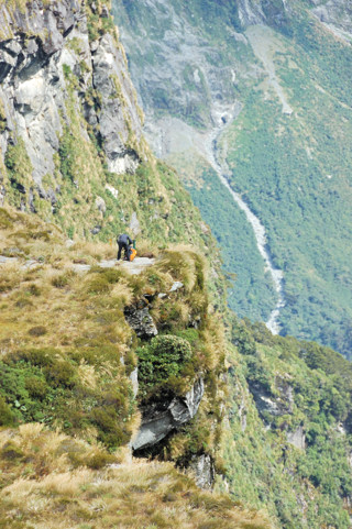
This is the view down the Arthur River Valley (to the right). This is taken from the top of 12-second drop — the edge of the cirque that stymied Sunderland. As everyone in my family can guess, I might have been close to the edge but I was not really that close. Because I was not standing too close, Quintin Lodge, where we will be staying tonight, is just hidden by the edge here. Below, is another picture showing the drop.
The monument is still several hundred feet below the highest spot on the pass. To get there we headed up the steep trail on the left below. On the right is some fool scaring me by standing so close to the edge of the 12-second drop.
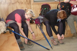
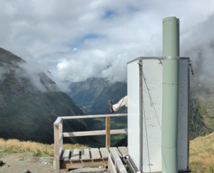
Here we have finally made it to the lunch hut. In the photo below, two members of our group are taking care of what is now our most precious possessions — our boots and feet. We have now done about half of the day’s hike; unfortunately, the hard half is still to come. The other photo below is of the “loo with a view.”
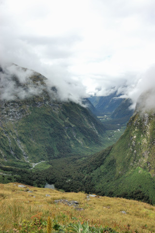
From here, we get a great view of the Clinton River Valley. Below is an unofficial reminder of those who maintain these trails.
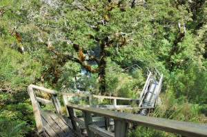
I’ve mentioned that the way down was much steeper than the track up. On the left below is a shot of the initial part of this track with a bridge over the headwaters of the Arthur River below us. The photo on the right shows how later, where the track becomes even steeper, they built these amazing wooden stairs which helped a lot.
As we start down here, we get a last great view of the pass with Mt. Hutt in the background.
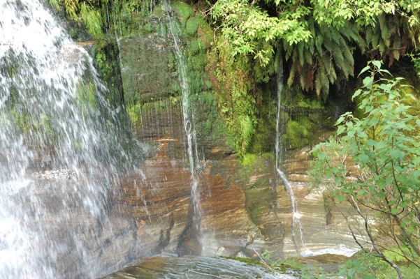
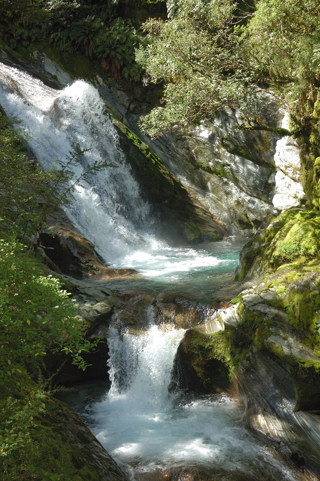
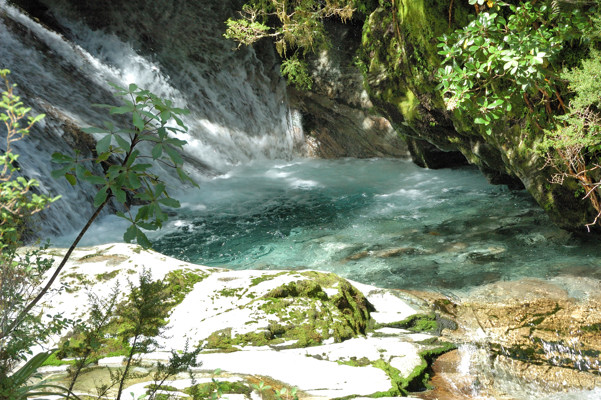
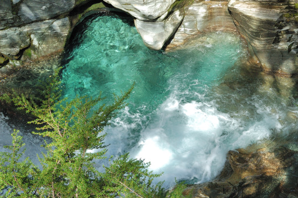
A little further, what will become the Arthur River puts on a stunning display of waterfall pyrotechnics as it descends through this steep landscape — the wooden stairway is in this section. These falls are apparently unnamed and they are not nearly as high as the Sunderland Falls, but for beauty and sheer variety it seems hard to beat them. Below are my five favorites of the many pictures I took here — Sorry, I’m sure I should cut down on these, but I just love all of these.
 You can perhaps understand now why I wanted to show you Sunderland Falls first. If it were to have come after these pictures it would, I think, have not fared well in the comparison.
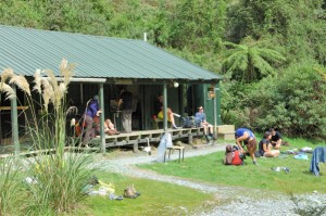
A mile or two further and we reached the end of the hike. First this hut, which is used by the independent hikers who still have two miles to go.
The photo below is of two from our group happy to be able to stop and relax.
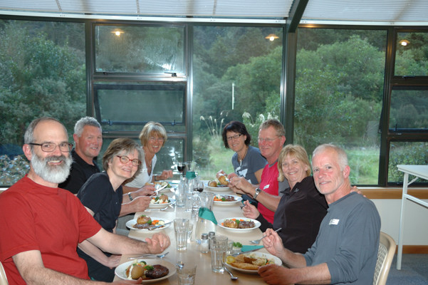
Here is our table at dinner.
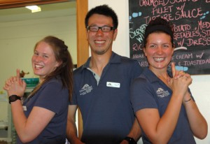
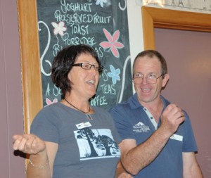
Maybe because we were all happy to have made it through the day, dinner tonight was somewhat more jovial than that of the last two nights. On the left below are Amy, Nabu, and Jess hamming it up for the camera. On the right are Rhonda and Kevin, the lead guide, helping us all make fools of ourselves.
